Multipitch Atlas

Via degli Amici

Monte Colt – Parete San Paolo (Arco) · Arco & Valle del Sarca · Italy

Bail not documentedBolting confidence: high

A new and already popular beginner's multipitch at the southern end of the San Paolo wall. Two good pitches at about 5c, a wooded middle section that is mostly walking, and two more pitches finishing with a slightly overhanging start on big holds. The hard moves are short, closely bolted and can nearly all be aided.

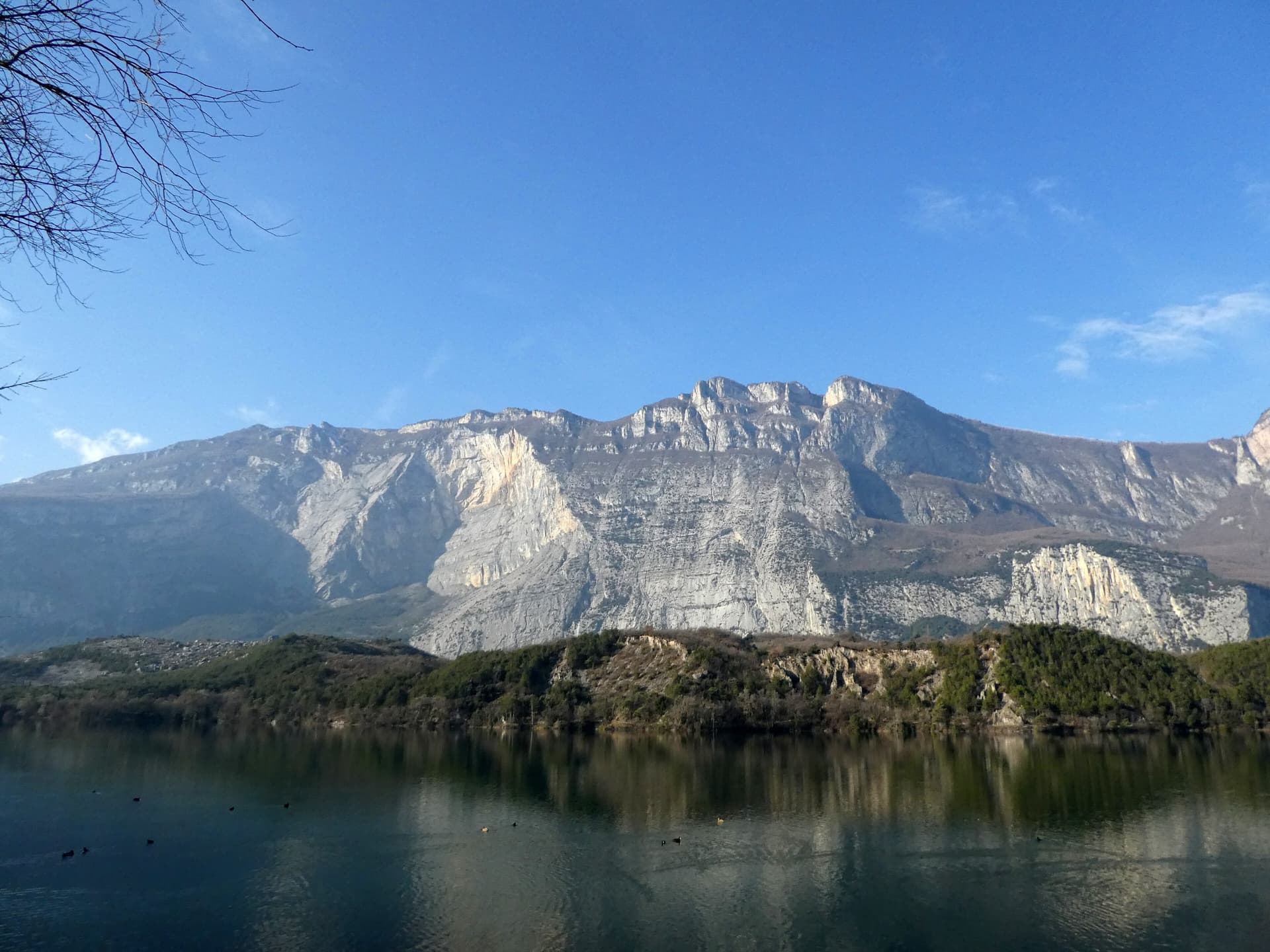
A view of the region, not this route's wall. Limestone blocks of the Marocche di Dro rockfall beneath the upper walls of Monte Brento, the setting of the Placche Zebrate.Photo: Robertk9410 · CC BY-SA 4.0

Photo

A view of the region, not this route's wall. Limestone blocks of the Marocche di Dro rockfall beneath the upper walls of Monte Brento, the setting of the Placche Zebrate.Photo: Robertk9410 · CC BY-SA 4.0
Hardest pitch
5c+
Pitches
7
Length
200 m
Approach
15 min
Aspect
E
East-facing
Rope
1×60 m
walk-off

The route

Overview

Via degli Amici is in the right-hand part of the San Paolo Sud sector, the first rock you reach coming from Arco. Bergsteigen.com calls it a shining star among the routes of the wall because of its solid bolts, varied but never really hard climbing and good stances, and expects it to become a classic for people starting out on multipitch routes. It is not continuous: the three middle pitches cross steep earthy, wooded ground. The climbing that matters is at the bottom and the top.

The climbing

Pitch by pitch

Pitches of Via degli Amici
PitchGradeNotes
P15cLooks harder than it is. UIAA 6- for a move, otherwise 5.
P25c+Starts with a traverse. UIAA 6 for a short passage, otherwise 5.
P32A traverse right, then wooded ground: a linking pitch with a few elementary moves on steep earth.
P42Wooded linking ground.
P52The last of the wooded transfers. Bergsteigen.com mentions an earthy gully in this middle part of the route.
P65aUIAA 5-, otherwise 4.
P75c+A small, slightly overhanging start on good holds, well protected (UIAA 6), an easier traverse right and a few more vertical metres at 6-. You come out on the path: belay on a tree, with the route book just before it.

Getting there

Approach

To the parking

From the A22 take the exit Rovereto Sud (Lago di Garda Nord) and drive via Nago to Arco. In Arco cross the bridge near the castle rock and turn right at once onto the narrow road towards Ceniga, signed for the campsites. Pass both campsites and continue towards the Pizzeria Lanterna. There are a few parking places just before it (gulliver.it mentions a lay-by for three or four cars on the right); if they are full, park at Camping Arco and walk ten minutes more. The road between the Lanterna and the Roman bridge is closed to traffic. Buses run to Arco and Ceniga.

On foot · about 15 min

About 15 min. Coming from Arco, at the start of the San Paolo cliffs, where the olive grove on the west side of the road ends, a path leads up to the wall. At the rock, go left for a few minutes, passing left of a small, obvious crack-and-roof (a single-pitch sector), to the start. The name is written at the base.

Map of the walk-in

  • Route base
  • Parking

Loading map

The point marks the base of the route.

Coordinates · route base

45.93713, 10.89403

Parking

45.93860, 10.89670

Parking marked on bergsteigen.com

Point from bergsteigen.com touren/klettern/via-degli-amici-parete-san-paolo

For your phone or watch

Download GPX

Contains the route point and parking. Opens in most mapping apps and GPS watches.

Points are compiled from published sources, with the precision stated above. They were not surveyed on the ground: check them against a current topo.

Getting down

Descent

On foot. From the end of the route go briefly uphill, not along the red rock ledge to the left. On the crest, either turn left for the 'alpine' quick descent, an exposed track with fixed ropes on the steep sections that leads straight down to the road near the parking in about half an hour, or follow the hiking path left to the northern end of the San Paolo wall and walk back along the road towards Arco (about 45 min).

Retreat

Bailing off the route

Bail not documented

Retreat is not documented. You walk off from the top and neither source describes abseiling. The route is short, the bolts are close enough to aid the hard moves, and the middle third is wooded walking ground.

Retreat from
Not stated.
Point of no return
Not documented. With crag-style bolting, aiding the last pitch is a realistic alternative to going down.
Carry
A maillon or two in case you have to abseil from bolts or a tree.
Basis
Inferred from the route factsNo source mentions retreat; inferred from the bolt spacing and the wooded middle section.

Partly inferred from the route facts

Safety

Hazards

  • The three middle pitches cross steep, earthy, wooded ground that is slippery after rain. Both sources say to leave the route alone when wet.
  • Already busy: a 2025 party met three teams at the start on a weekday morning and expects the rock to polish quickly.
  • The quick descent is exposed in places.
  • One photo caption on bergsteigen.com calls the penultimate belay 'questionable'; look at it before you rely on it.

Sun and weather

Conditions

East facing, base at about 100 m. Bergsteigen.com marks March to November. Do not go when it is wet: the linking pitches in the middle are on steep earth. Allow about 3 h for the climb.

Usual season · Mar to May, Sep to Nov

Sun on the wall · E-facing

Working out the sunlit hours for this month.

  • January: not yet worked out
  • February: not yet worked out
  • March (usual season): not yet worked out
  • April (usual season): not yet worked out
  • May (usual season): not yet worked out
  • June: not yet worked out
  • July: not yet worked out
  • August: not yet worked out
  • September (usual season): not yet worked out
  • October (usual season): not yet worked out
  • November (usual season): not yet worked out
  • December: not yet worked out

Sun on the wallDaylight, wall in shade● Usual season

Estimated from the wall's aspect only. Ignores surrounding terrain, gullies and the wall's exact shape. Clock times are local to the wall (Central European time), for the 15th of each month.

Monthly climate averages for Arco & Valle del Sarca, 1991-2020
MeasureJanFebMar (usual season)Apr (usual season)May (usual season)JunJulAugSep (usual season)Oct (usual season)Nov (usual season)Dec
Mean daily high °C571114192224242016106
Mean daily low °C−3−226111517171394−1
Rain days 1 mm or more681014161715151211118

● marks the usual climbing season. Averages for 1991-2020 at about 527 m. Area climate from Open-Meteo reanalysis. Temperatures are adjusted to the height of the crag; rain comes from a grid cell of about 10 to 25 km, and summer highs on sea cliffs can read a few degrees low. The wall and valley can differ. Data: Open-Meteo, CC BY 4.0.

What to carry

Gear

10 to 12 quickdraws, a few slings (one for the tree belay) and a single 60 m rope. No nuts or cams. Helmet.

Checklist

Quickdraws
12
Rope
1×60 m (walk-off)
Helmet
One each
Maillons or spare karabiners
To leave behind if you retreat

Derived from the route data; check it against a current topo

From climbers

Reader reports

Reader reports are not being collected yet. Until they are, check a current topo and the local club or guidebook publisher for recent changes to Via degli Amici.

Worth knowing

Tips

  • The harder moves are short and mostly aidable on the bolts, which makes this a comfortable first multipitch at the grade.
  • Gioia e Felicità (UIAA 7-), by the same team and bolted in the same style, starts a little further along the wall if you want a second, harder route.

Open questions

Where sources disagree

  • Grade: UIAA 6 with 5 obligatory (bergsteigen.com); 5c with 5b obligatory (gulliver.it), which also gives UIAA grades of VI- and VI for the hard moves. The UIAA 6 passages are entered as 5c+.
  • The three linking pitches have no grade in either source; they are entered as grade 2 on the basis of gulliver.it's 'a few elementary climbing moves'.
  • Descent time: 45 min (bergsteigen.com) against about half an hour by the quick descent (gulliver.it).
  • Bergsteigen.com shows an information date of 13.03.2024, which is before the stated first ascent in October 2024; 2025 is more likely.
  • Rope: the bergsteigen.com data field says 1×60 m; gulliver.it's party also used a single 60 m.

Provenance

Sources

Same area

More in Arco & Valle del Sarca

All routes in Arco & Valle del Sarca
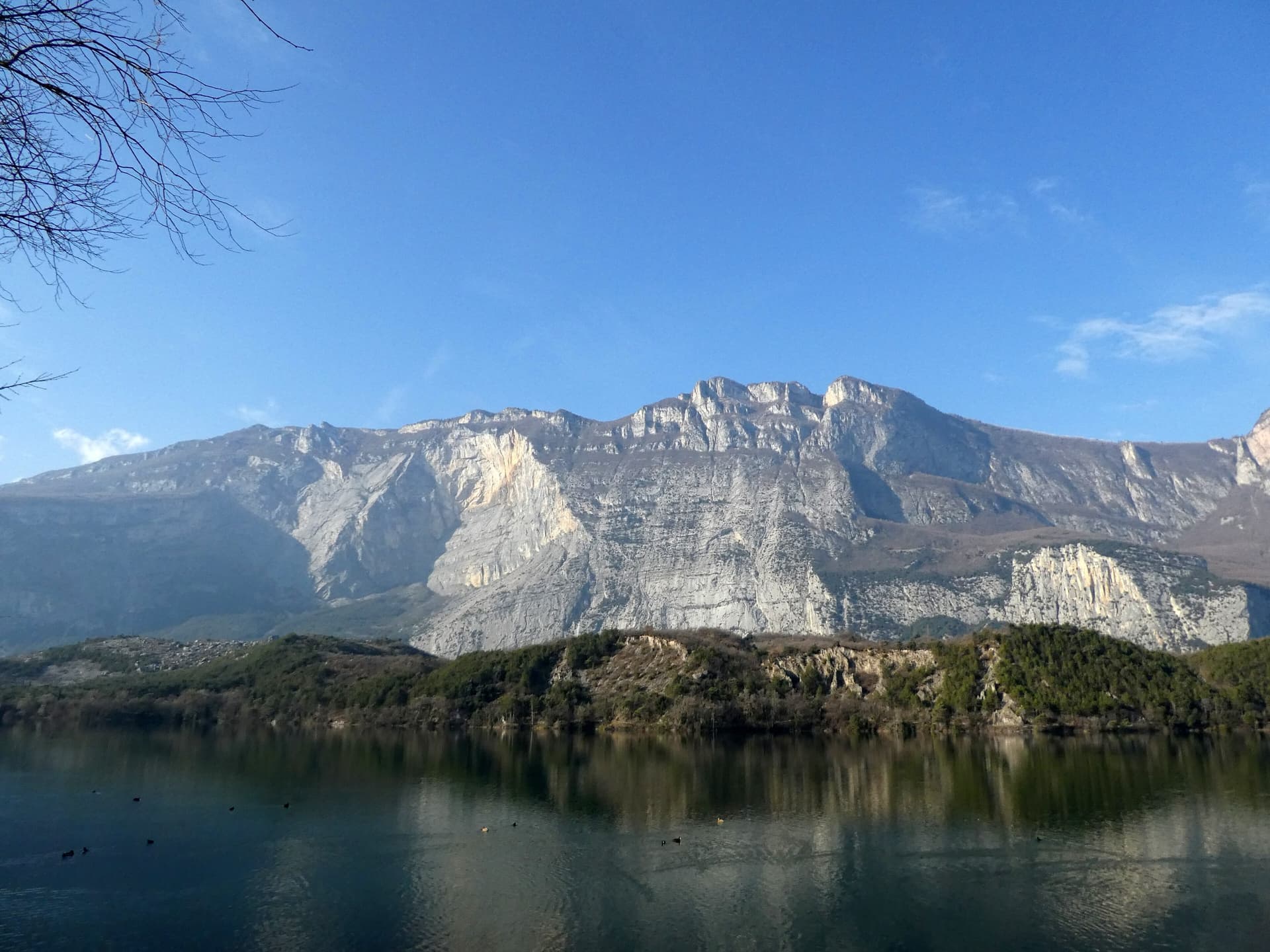
The east face of Monte Brento rising above Lago di Cavedine and the Marocche boulder field. The Placche Zebrate are the pale slab apron at the foot of the wall; the route's line is not marked.

Italy · Arco & Valle del Sarca

Rita

This is the archetypal long, easy Arco slab, first climbed in 1971. It wanders up the lower bands and then improves into a superb water-worn chimney system in the upper half. It is very polished and very busy, so start early. Original grade 6- UIAA per bergsteigen.com; gulliver gives 5c max.

5c16 pitches400 m

Read the cautions
The wooded Limarò gorge of the Sarca, upstream of Sarche; the Parete del Limarò of the Piccolo Dain stands at the gorge's lower end, outside this view.

Italy · Arco & Valle del Sarca

Orizzonti Dolomitici

A succession of short walls and slabs separated by ledges, with the first two pitches shared with Amazzonia. The crux is a single 5c/6a move just below the P5 belay. It's a relaxed, well-protected outing above the Sarche gorge.

5c10 pitches250 m

The east face of Monte Brento rising above Lago di Cavedine and the Marocche boulder field. The Placche Zebrate are the pale slab apron at the foot of the wall; the route's line is not marked.

Italy · Arco & Valle del Sarca

Man-Ilia

An easy, relaxing sport route on low-angle Zebrate slabs, trending left to right to join Cane Trippa at the fifth belay. It's an excellent first multipitch. Gulliver gives UIAA III / II–III / IV / IV–IV+ for the first four pitches, converted here.

5b6 pitches240 m

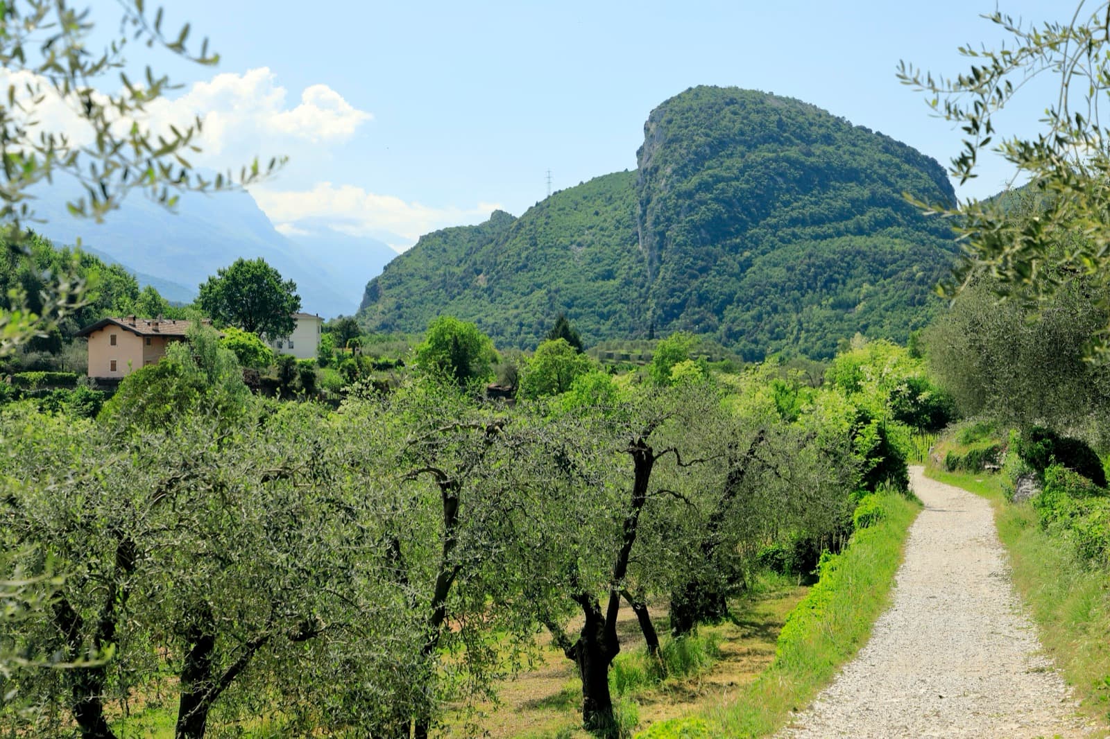
Monte Colt (Croce Colt) seen across olive groves from the west bank of the Sarca north of Arco; a band of steep limestone shows on its east-facing flank, the side the Parete San Paolo routes are on.

Italy · Arco & Valle del Sarca

Via Roberto

Eight sustained pitches up the wall opposite the Laterna restaurant, rarely easier than 6a. The crux is a short overhanging wall on pitch 5 that can be pulled through on the bolts. Less cleaned than its neighbours, with some broken rock on pitch 6.

6c+8 pitches220 m

Around 5c+ · about 7 pitches

Similar elsewhere

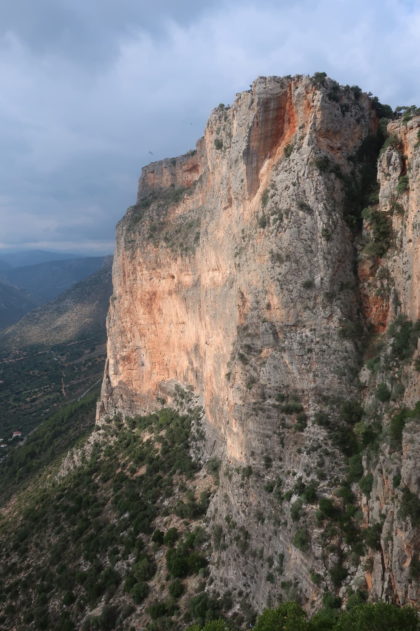
The orange pillar at the right end of the main Kokkinovrachos wall, Leonidio.

Greece · Leonidio & Kyparissi

Mignonette

The easiest multi-pitch on Kokkinovrachos, following the easy-angled arête and pillar above Leonidio, with tufas, crimpy walls and a great view of the town. Rock is good apart from the scrappy P2–P3.

5c+7 pitches175 m

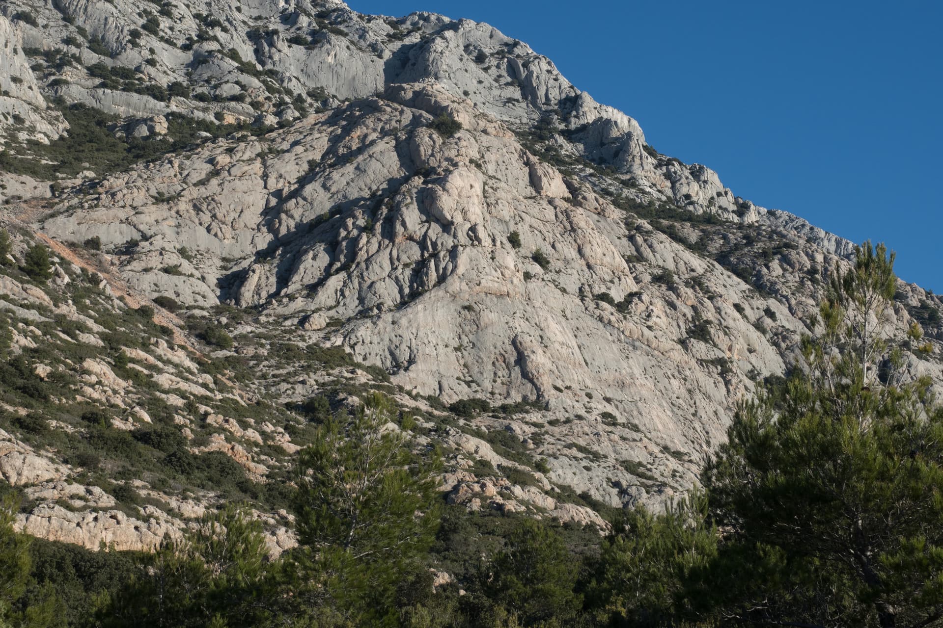
Le Socle de la Carrière, the pale limestone plinth at the foot of the south face of Sainte-Victoire.

France · Sainte-Victoire

La Marbrière

A sunny winter route on Sainte-Victoire's south-side socle. The highlight is a beautiful marbled slab on L5, and a stiff move off the last belay can be aided on a sling. Bring long slings to manage rope drag around the trees.

5c+7 pitches180 m

A view of the region, not this route's wall. The painted stone that marks the start of Strada del Sole at the foot of the Nösslachwand

Austria · Ötztal

Sonnenblume

The multipitch classic of the Nösslachwand and the easiest line on its west face: seven short pitches of gneiss slab beside a water streak, improving with height, with a few steep wall moves and an arête crux. Polished in places.

5c+7 pitches160 m

The cliff above the Grande Grotta: 3 Stripes starts on the second-to-last spur on the left and finishes up the shaded wall

Greece · Kalymnos & Telendos

3 Stripes

Kalymnos's best-known introduction to multi-pitch: a series of steps and slabs, always with plenty of holds, finishing on top of the Grande Grotta. The upper pitches feel very exposed. Real pitch lengths are shorter than the guidebook says (20–25 m).

5c+6 pitches175 m

Committing

Compiled from published sources and last verified October 2026. Bolts, anchors and access change. Climbing is dangerous and you are responsible for your own decisions: check a current topo and read the disclaimer.