Switzerland · Ticino
Quarzader
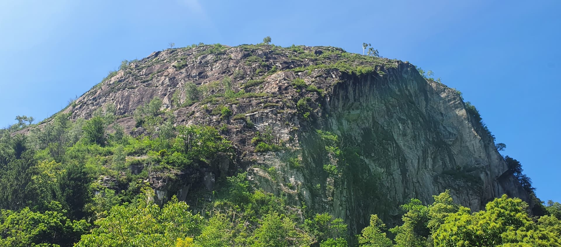
Slab pitches give way to a vertical wall threaded with quartz veins, which gives the route its name. It is shady in the morning, and the pitches are short (about 35 m), so 11 go quickly.
6a11 pitches400 m
Placche di Freggio (Leventina) · Ticino · Switzerland
Bail with caveatsBolting confidence: high
Nineteen pitches of almost pure gneiss slab above the hamlet of Freggio, with a great many leftward traverses. Mostly 4b to 5c, with three short harder passages (6a+, 6b+, 6b+) that are well bolted and usually pulled through. A long day for slab lovers: six to eight hours.
The route
The Placche di Freggio are a 700 m sweep of low-angled gneiss slabs on the sunny side of the Leventina, visible from the car park in the hamlet of Freggio. Via del Pivello (2010) is the modern, harder and better-bolted companion to the old Via del Veterano, which it runs beside and twice touches. It is nearly all friction and small edges, with far less vegetation than it looks from below. The hard moves are short, closely bolted and easy to aid, so the route works at about 6a obligatory; it is the length that makes the day.
The climbing
| Pitch | Grade | Length | Notes |
|---|---|---|---|
| P1 | 5a | – | Straight up the left side of the slab with one short steep passage on good holds. The only pitch that is slow to dry; if it is wet, use the route on the right. |
| P2 | 4a | – | Steps broken by vegetation. After about 20 m do not take the bolt line on the right, which is Via del Veterano. |
| P3 | 4b | – | A slab trending left. |
| P4 | 5a | – | The slab straight above. |
| P5 | 4c | – | Straight up, then a long, nearly horizontal traverse left. Do not climb to the belay behind the fir tree; keep traversing. |
| P6 | 6a+ | – | Traverse up and left, a thin mantel, a delicate traverse and a slightly overhanging passage. About 5c with A0. A 2016 party thought it nearer 6b free. |
| P7 | 6b+ | – | A short, technical and fingery overhanging passage (6a with A0), then a fine thin traverse left. Much harder than 6b+ free according to a 2016 party, but very well bolted. |
| P8 | 4c | – | A short pitch up and left to a belay shared with Via del Veterano. |
| P9 | 5b | 50 m | Follow the bolts on the left of the slab, with one step of down-climbing, then more slab. A little over 50 m. A chained belay then gives a free-hanging 25 m abseil onto the slab below, where there is another belay. |
| P10 | 5b | – | An almost horizontal traverse left. |
| P11 | 4b | – | Easy steps straight up. |
| P12 | 6a | – | A few thin slab moves, then up and left to a good ledge. Walk left along the ledge and belay on the tree with the fixed rope; an escape is possible here. |
| P13 | 5c | – | A slab with many small edges that appear as you go. After the first bolt Via del Veterano goes off left behind the rib. |
| P14 | 5c | – | Some interesting moves on flakes. |
| P15 | 5c+ | – | A steep pitch with a few thin moves. A transition follows, first up and left and then down along a ledge with a fixed rope, to a belay with a plate bearing the route name. |
| P16 | 4c | – | Up and left. Some of the flakes are fragile. |
| P17 | 6a+ | – | Several thin slab moves. Well bolted, but some moves are obligatory. |
| P18 | 5a | – | A traverse up and left. |
| P19 | 6b+ | – | A traverse up and left, then a slightly overhanging wall of about 10 m with a technical mantel at the exit (6a with A0, given 6b to 6b+). A few more metres of slab lead to the tree belay with a rope in place. |
Getting there
Leave the A2 motorway at exit 42 (Quinto), follow signs towards Faido and then turn up to Freggio (1037 m). Park in the small car park just before the church. Zurich is about 2 hours away without traffic. There is a hotel-restaurant at Osco, five minutes away by car.
Follow the marked path that crosses the hamlet to the left. A short descent leads into the wood. After about 100 m, just past a metal sign listing accommodation, take the path that climbs to the right (cairns and yellow marks) to the foot of the slabs. Via del Pivello is the left-hand line and Via del Veterano the right-hand one; the names are painted at the start but fading. 15 to 20 minutes.
Loading map
The point marks the crag, not the exact start of the route.
Parking
Freggio, small car park just before the church (camptocamp access waypoint 188462)
Point from camptocamp waypoint 42446 (Placche di Freggio)
Contains the route point and parking. Opens in most mapping apps and GPS watches.
Points are compiled from published sources, with the precision stated above. They were not surveyed on the ground: check them against a current topo.
Coordinates: 46.50106, 8.75878 (crag) · Parking: 46.49998, 8.77601
Getting down
About 1 hour on foot. From the top climb roughly 80 m through the forest, then follow the yellow or white marks and arrows to the left, which lead back to the foot of the route. The way is very well marked, airy in places, with a few short down-climbs equipped with chains. Abseiling the route is possible, since the belays are equipped for it, but not advised because of the traverses and the many trees and roots that catch ropes.
Retreat
Bail with caveats
The belays are linked and equipped for abseiling, and Mountain Project calls the route non-committing because you can abseil or walk off at a few points. Abseiling the whole line is discouraged, though: the many traverses and the trees catch ropes. The practical exits are the ledge with the fixed rope after pitch 12 and the junction with the descent path at the end of the first half.
Partly inferred from the route facts
Safety
Sun and weather
South-facing slabs from about 1100 m to 1630 m. Spring and autumn are best; parties have climbed it in April and in mid-July, when it was almost too hot. Some belays are shaded by trees. The gneiss is compact and excellent throughout except perhaps at the start of pitch 16. Only the first pitch stays wet for long after rain.
Sun on the wall · S-facing
Working out the sunlit hours for this month.
Sun on the wallDaylight, wall in shade● Usual season
Estimated from the wall's aspect only. Ignores surrounding terrain, gullies and the wall's exact shape. Clock times are local to the wall (Central European time), for the 15th of each month.
| Measure | Jan | Feb | Mar | Apr (usual season) | May (usual season) | Jun (usual season) | Jul | Aug | Sep (usual season) | Oct (usual season) | Nov | Dec |
|---|---|---|---|---|---|---|---|---|---|---|---|---|
| Mean daily high °C | 6 | 7 | 11 | 14 | 19 | 23 | 25 | 25 | 20 | 16 | 10 | 6 |
| Mean daily low °C | −2 | −2 | 1 | 5 | 9 | 13 | 15 | 15 | 12 | 8 | 3 | −1 |
| Rain days 1 mm or more | 9 | 9 | 11 | 13 | 16 | 16 | 14 | 14 | 13 | 14 | 12 | 10 |
● marks the usual climbing season. Averages for 1991-2020 at about 432 m. Area climate from Open-Meteo reanalysis. Temperatures are adjusted to the height of the crag; rain comes from a grid cell of about 10 to 25 km, and summer highs on sea cliffs can read a few degrees low. The wall and valley can differ. Data: Open-Meteo, CC BY 4.0.
What to carry
A 60 m rope: with 50 m you have to move together for a few metres once or twice. 15 quickdraws including some extendable ones for the traverses. Nuts and cams are useless. Helmet.
Derived from the route data; check it against a current topo
From climbers
Reader reports are not being collected yet. Until they are, check a current topo and the local club or guidebook publisher for recent changes to Via del Pivello.
Worth knowing
Open questions
Provenance
Same area
Switzerland · Ticino
Slab pitches give way to a vertical wall threaded with quartz veins, which gives the route its name. It is shady in the morning, and the pitches are short (about 35 m), so 11 go quickly.
6a11 pitches400 m
Switzerland · Ticino
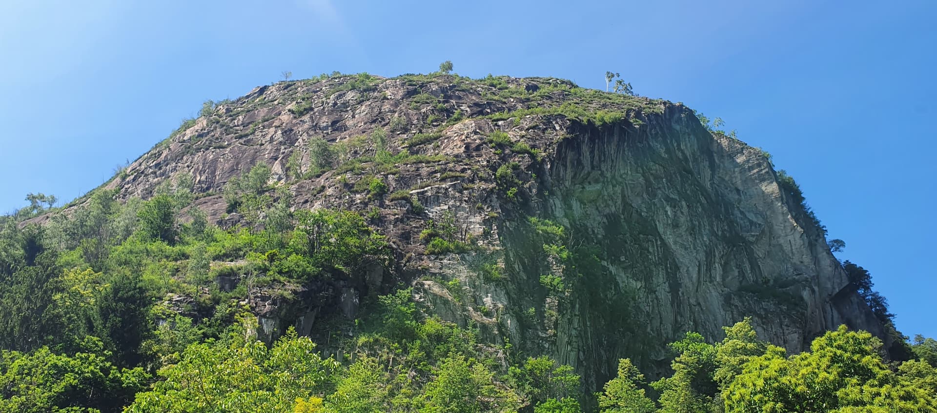
The easy neighbour of Quarzader: seven pitches of gneiss slab and small steps up the right-hand spur above the Maggia, at 4b if you take the right-hand finish. Much quieter than Quarzader and very well bolted. Finish with a swim in the river.
4b7 pitches250 m
Switzerland · Ticino
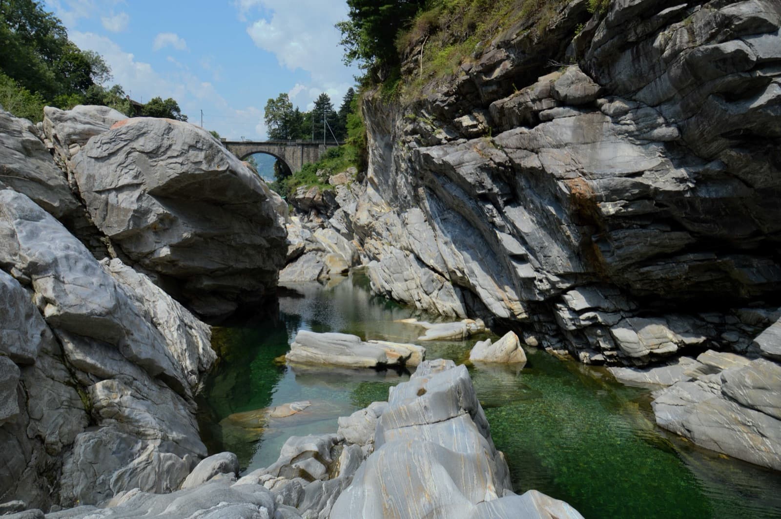
An easy, sustained slab route following the edge of the spur just left of Quarzader. Every pitch is about 4c on compact gneiss, so there is no real crux and no real rest. Impossible to lose and often crowded.
4c7 pitches210 m
Switzerland · Ticino
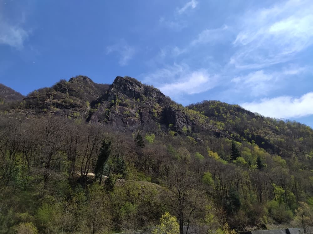
A short four-pitch route on the black wall a little right of Quarzader. Slabs lead to short vertical walls where the difficulties are concentrated and well protected. Stiff grades, and a good fallback when the classic next door has a queue.
6a4 pitches120 m
Around 6b+ · about 19 pitches
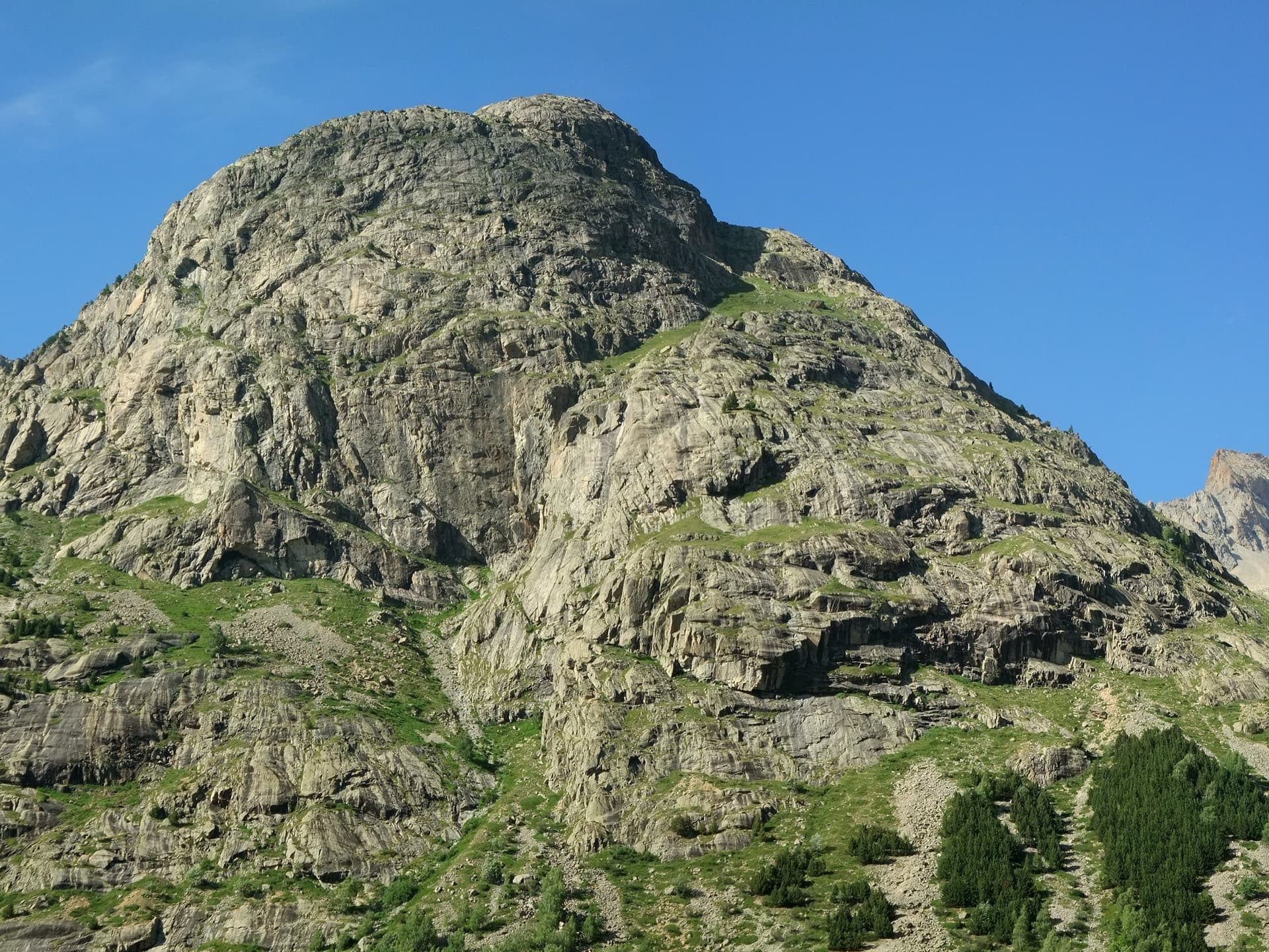
France · La Bérarde (Écrins)
Fifteen pitches up the steeper centre of the face: steep cracks and walls in the first third, then a long sequence of sometimes very thin friction slabs. Mostly 5c to 6a+ with one short 6b+ that goes at A0. Rated among the best on the wall and much quieter than its famous neighbour.
6b+15 pitches400 m
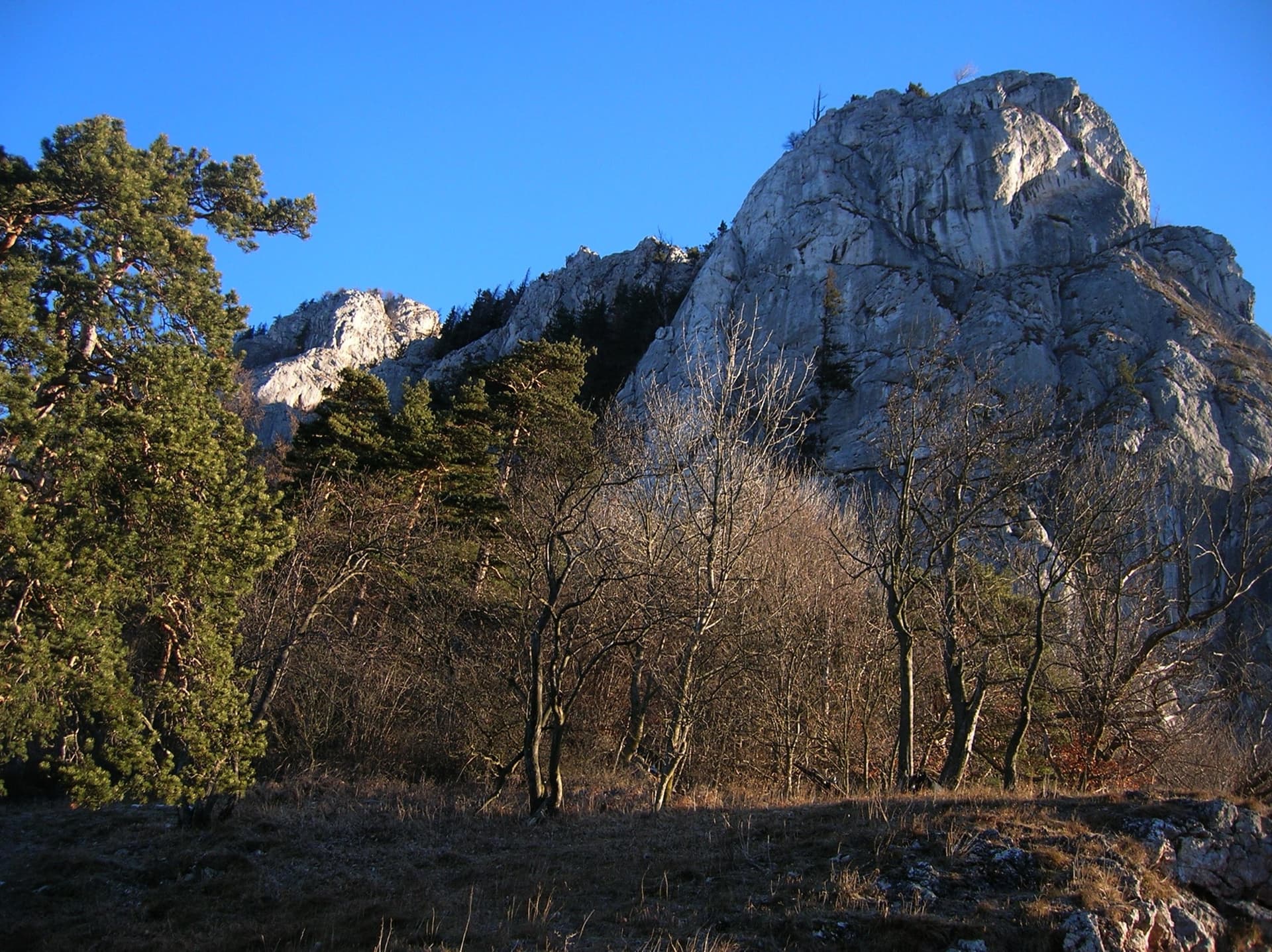
Austria · Grazer Bergland
Possibly the longest route in the Grazer Bergland: sixteen pitches that start up the Ratengrat (Don Kamille) and continue up the Breite Wand (Pepperone). The lower half is among the best climbing on the Ratengrat; the upper half begins gently over slabby steps in the forest and then steepens. Two passages of UIAA 7- and several of 6+.
6b16 pitches440 m
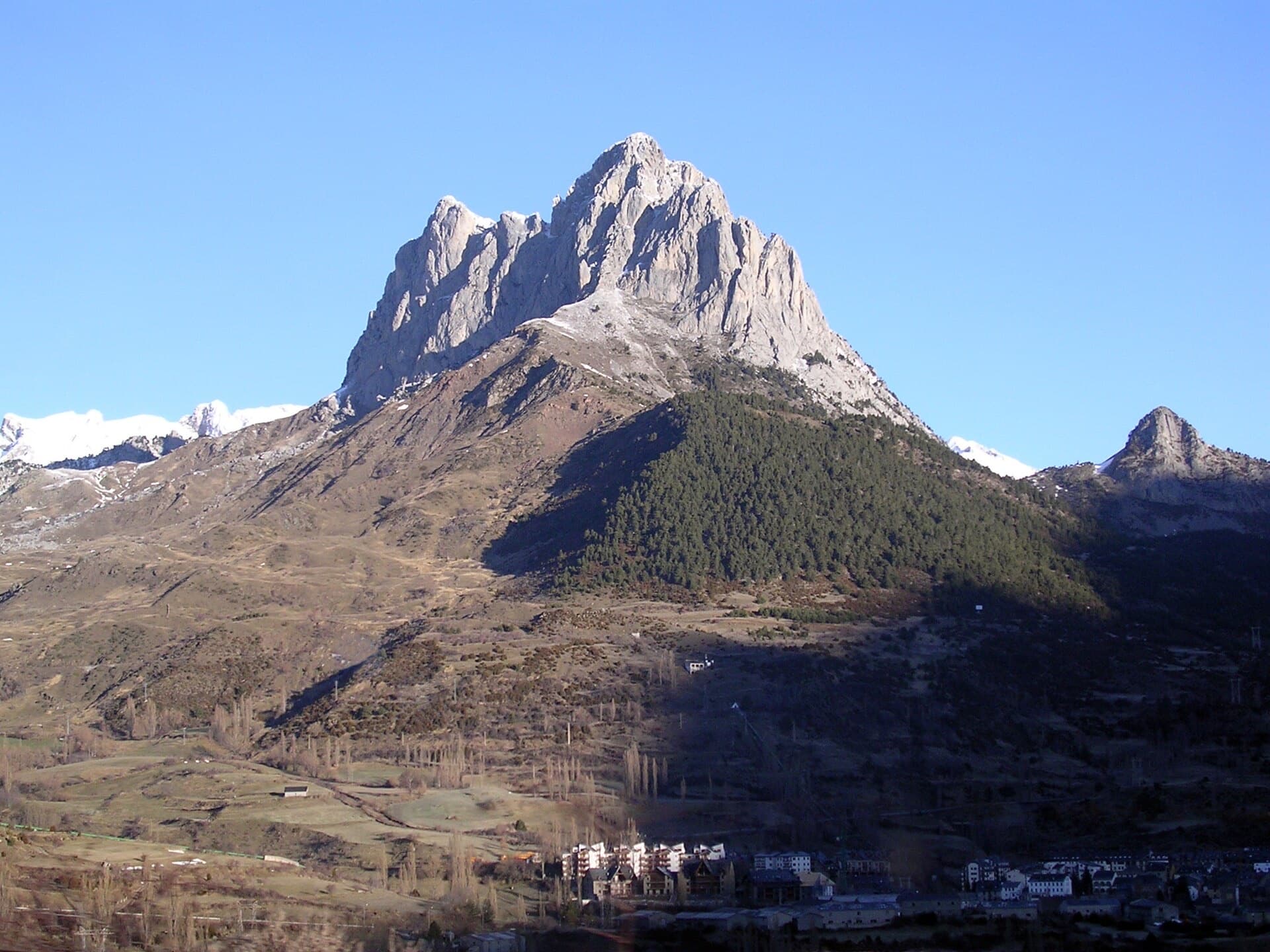
Spain · Aragonese Pyrenees (Tena & Canfranc valleys)
A big, fully bolted mountain route straight up the middle of a wall of the Peña Foratata to its summit. Three technical corner pitches at 6b+ low down and a 6b and a 6a above the grass terrace, separated by easy transition pitches. Short pitches by design, a long descent, and a seasonal closure for bearded vultures until the end of July.
6b+14 pitches420 m
Read the cautions
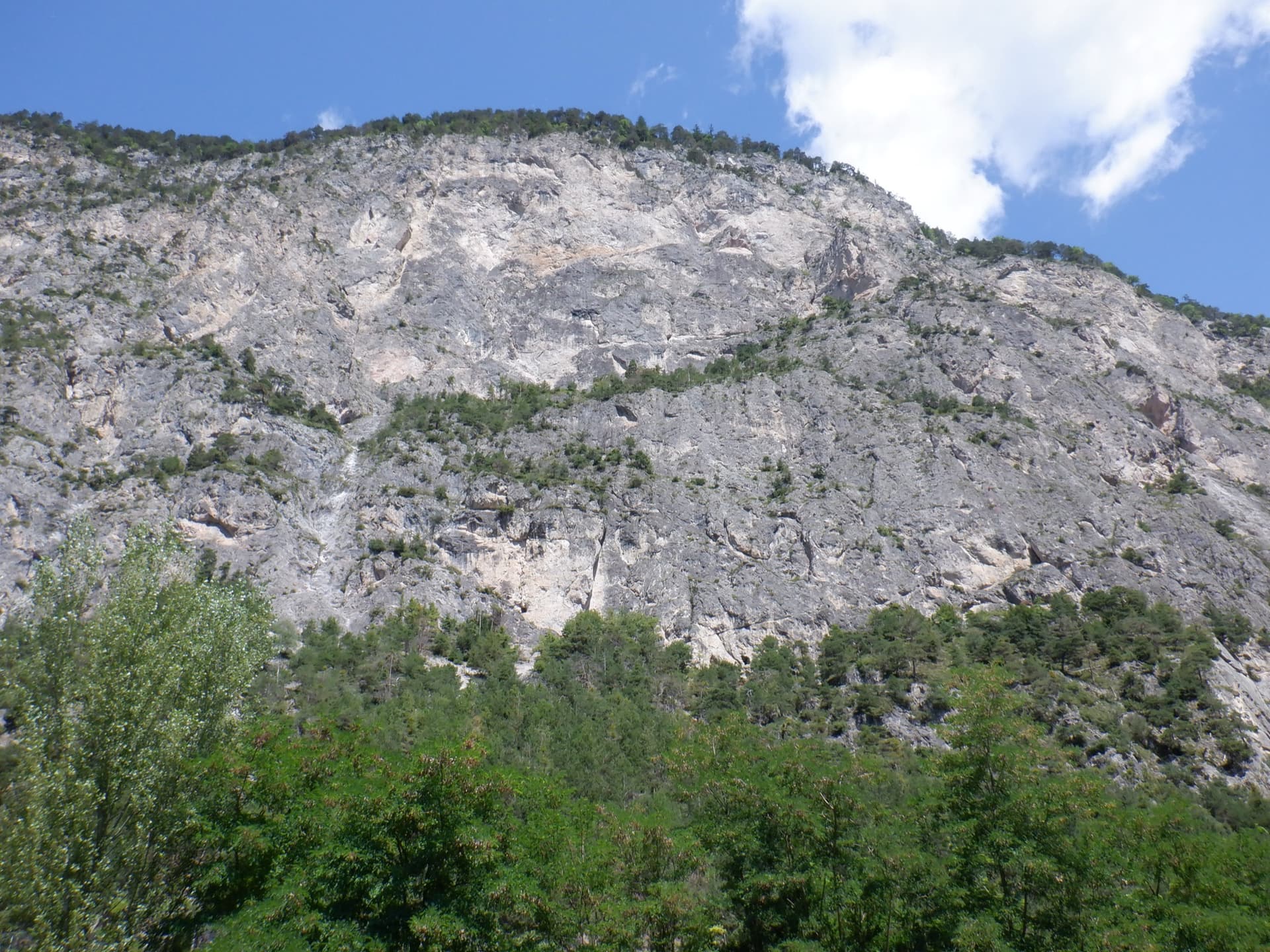
Austria · Inntal (Haiming Geierwand)
bergsteigen.com calls this the best route on the Geierwand: steep, almost always vertical pocket climbing on the left side of the wall. The hardest move comes on pitch 2, but the upper half stacks several 6b pitches one after another and tires the forearms. Recommended to climbers who are comfortable at 6b.
6b+13 pitches355 m
Compiled from published sources and last verified October 2026. Bolts, anchors and access change. Climbing is dangerous and you are responsible for your own decisions: check a current topo and read the disclaimer.