Multipitch Atlas

Entre Dos Chapas

Las Cuevas and Paredes de Arriba, Barranco de la Maimona · Montanejos · Spain

Bail with caveatsBolting confidence: high

One of the longest routes at Montanejos: ten pitches from the stream bed to the rim, in two halves separated by a walking ledge. Homogeneous 6b slab and wall climbing on excellent rock with close bolts, a bouldery first few metres and a hard move off the last belay. The mid-height ledge gives an escape.

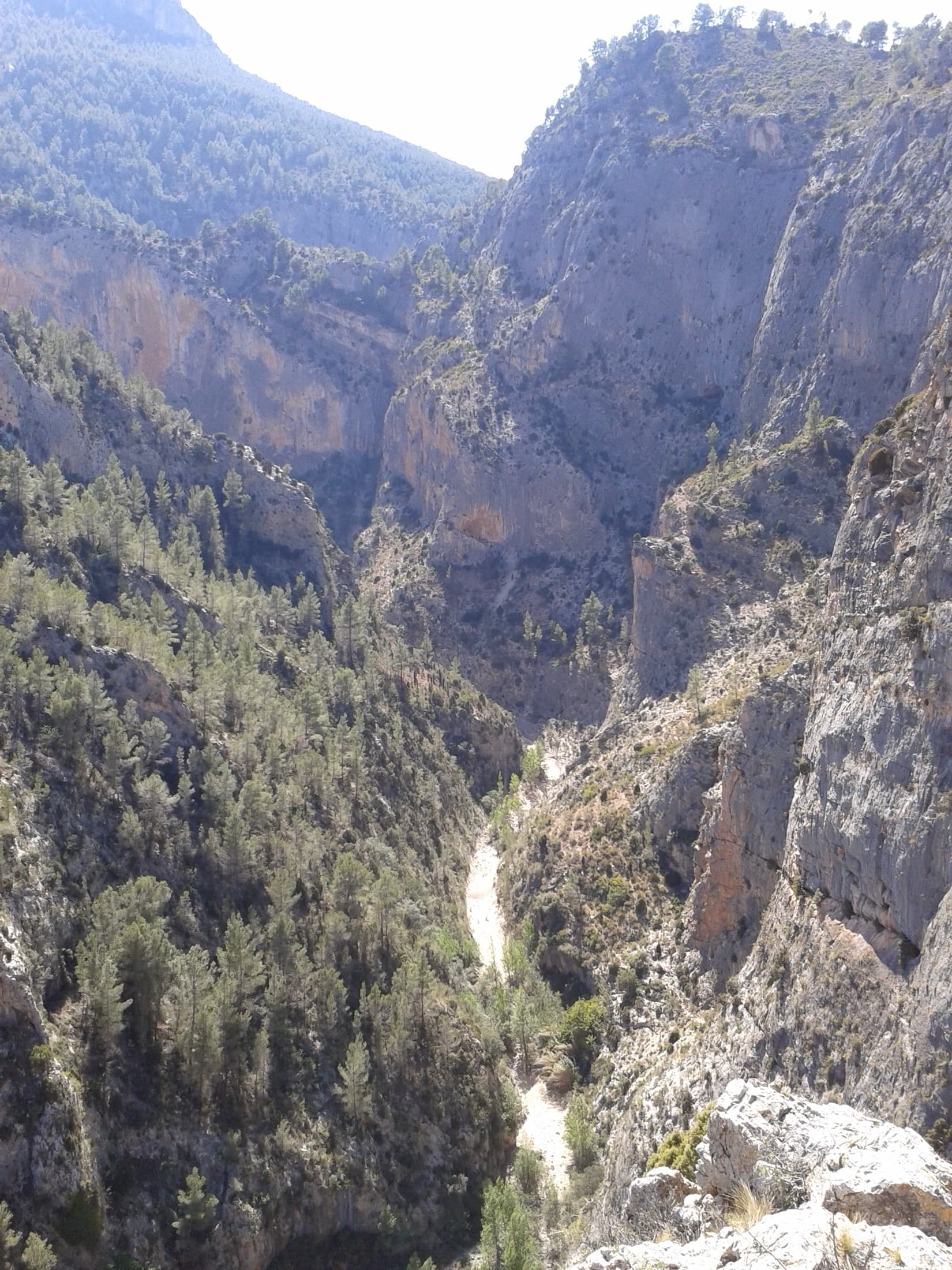
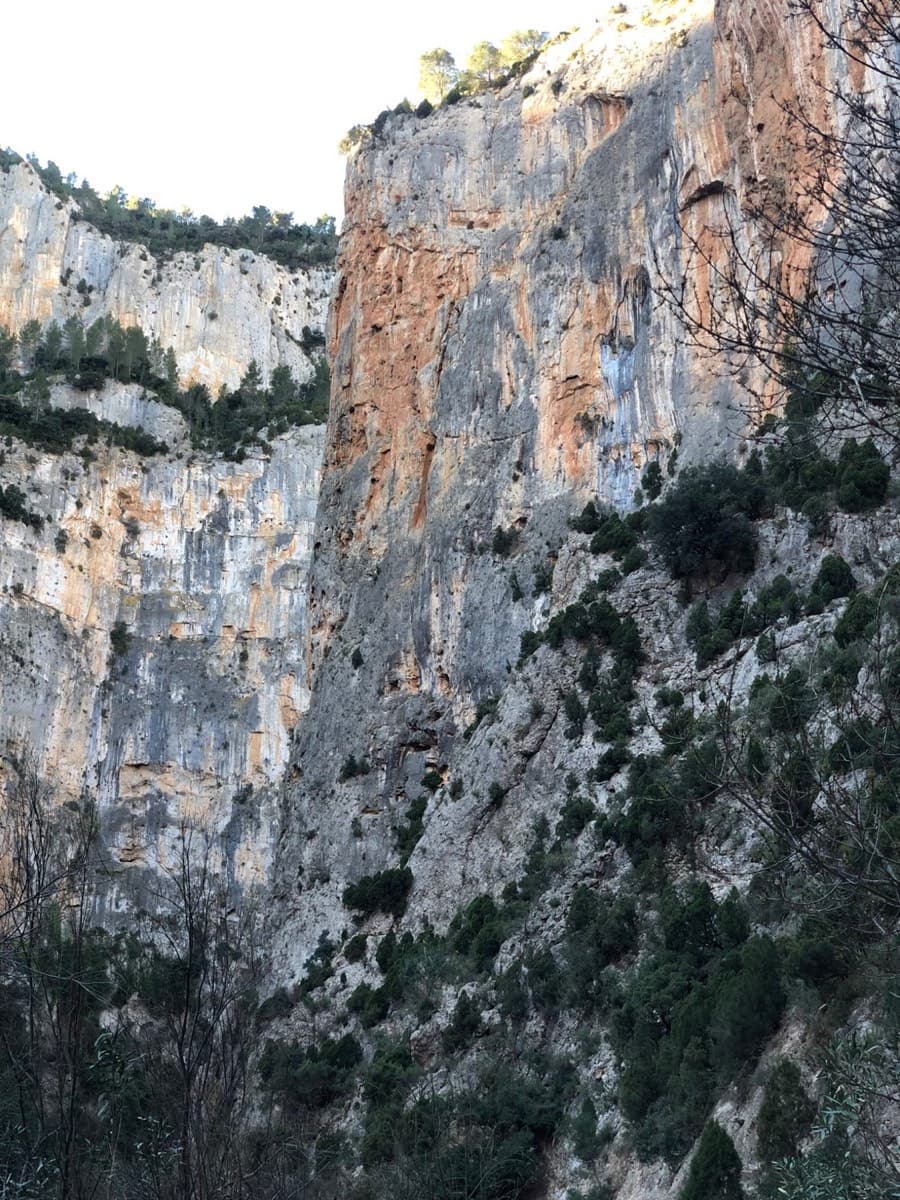
The Barranco de la Maimona at Montanejos seen from above. Entre Dos Chapas climbs from the stream bed to the rim in two tiers; the line is not identifiable in this view.Photo: AngelVera81 · CC BY-SA 3.0

Photo

The Barranco de la Maimona at Montanejos seen from above. Entre Dos Chapas climbs from the stream bed to the rim in two tiers; the line is not identifiable in this view.Photo: AngelVera81 · CC BY-SA 3.0
Hardest pitch
6c
Pitches
10
Length
278 m
Approach
25 min
Aspect
S
South-facing
Rope
1×60 m
walk-off; pitches up to 35 m

The route

Overview

A long, sustained sport route that links the lower Las Cuevas wall with the Paredes de Arriba above it, about 278 m in all. The lower half is six pitches, mostly 6b slab and wall climbing; a big ledge then leads to four more pitches up the upper wall, finishing with the 6c. A February 2025 party found the rock exceptional on almost every pitch, the style mostly slabby and the equipment irreproachable. For them the hardest move was in the first four metres, which they aided on the bolts. Access and return are both short.

The climbing

Pitch by pitch

Pitches of Entre Dos Chapas
PitchGradeLengthNotes
P16b30 mBouldery and hard when cold, right off the top of the block. The openers' topo gives 6b or 5+ with aid; the 2025 party pulled on the bolts for the first four metres.
P25c30 mEasier wall climbing. The topo gives 6a.
P34b20 mTrend up and right. Do not follow the other route that leaves to the left here. Links easily with the previous pitch.
P46b35 mVaried and very good.
P56b+20 mA slab on small holds.
P66b–A steep orange wall with a few holds to test. Skip the intermediate belay and continue to the ledge, then walk up the ledge to the foot of a brown corner with a lone tree. The topo gives 6a+/6b, 25 m.
P74b20 mA pleasant, easy corner starting the upper wall (Paredes de Arriba), right of El Río que nos Lleva. The topo gives grade 3, 15 m.
P86b+25 mA steep, physical section followed by a cracked slab. The topo gives 30 m.
P96b25 mA fine, steep slab. The topo gives 6b+ and shows a belay shared with El Río que nos Lleva.
P106c25 mA hard section straight off the belay, then easier (about 6a+) to the top, where you still need to concentrate. The topo gives 20 m.

Getting there

Approach

To the parking

Montanejos is in inland Castellón province, on the CV-20 up the Mijares valley from Onda. The gorge starts at the climbers' refuge (Albergue El Refugio) by the Maimona bridge at the entrance to the village. Camptocamp says camping is not allowed, and that there is water at the village fountain or at the car park after the bridge. No source read gives public transport details.

On foot · about 25 min

Walk up the bed of the Barranco de la Maimona from the refuge, passing below the El Tubo sector and the Aguja del Alguacil. At the next group of routes, the Las Cuevas sector, look for a big block 6 to 7 m high in the stream bed. The route starts from its top. The openers' topo mentions a chipped arrow at the start, which the 2025 party did not find. No source gives a time; the Paredón del Alguacil just before it is 20 to 25 minutes from the refuge.

Map of the walk-in

  • Area: approximate

Loading map

The point is approximate: it marks the area, not the crag.

Coordinates · area: approximate

40.07007, -0.53294

Point from camptocamp route 1705135 (El Tubo sector point in the Barranco de la Maimona); this route starts further up the gorge and no source gives its own point

For your phone or watch

Download GPX

Contains the route point. Opens in most mapping apps and GPS watches.

Points are compiled from published sources, with the precision stated above. They were not surveyed on the ground: check them against a current topo.

Getting down

Descent

On foot. From the top follow the crest to the right to the waymarked descent path, described as easy and quick; it returns to the road and the refuge.

Retreat

Bailing off the route

Bail with caveats

The ledge between the two halves is the practical way out: the openers' topo marks an escape to the right from it. Below and above the ledge no source describes abseiling, although the belays are bolted and the pitches are 35 m or less.

Retreat from
The big ledge after pitch 6, on foot. From other stances an abseil retreat on the bolted belays is inferred, not described.
Point of no return
Not described. Above the ledge, the remaining four pitches are short and the top is a quick walk-off.
Carry
A 70 m rope or two ropes and some maillons if you want to abseil from mid-wall, since abseil hardware is not confirmed.
Basis
Part stated, part inferredThe escape from the ledge is drawn on the openers' topo; everything about abseiling is inferred from bolted belays and pitch lengths.

Partly inferred from the route facts

Safety

Hazards

  • A few holds need testing on the steep orange wall of pitch 6, before the ledge.
  • Route finding on pitch 3: another route leaves left; stay right.
  • The upper tier shares a belay with El Río que nos Lleva; the base of the upper part is marked E.2.C. in white paint.
  • The hangers are galvanised rather than stainless, according to the openers.

Sun and weather

Conditions

South-facing. The neighbouring Monsieur, on the same walls, is in the sun from the morning with its lower half sheltered from the wind, so this is a route for clear days from autumn to spring. Logged in February.

Usual season · Jan to Apr, Oct to Dec

Sun on the wall · S-facing

Working out the sunlit hours for this month.

  • January (usual season): not yet worked out
  • February (usual season): not yet worked out
  • March (usual season): not yet worked out
  • April (usual season): not yet worked out
  • May: not yet worked out
  • June: not yet worked out
  • July: not yet worked out
  • August: not yet worked out
  • September: not yet worked out
  • October (usual season): not yet worked out
  • November (usual season): not yet worked out
  • December (usual season): not yet worked out

Sun on the wallDaylight, wall in shade● Usual season

Estimated from the wall's aspect only. Ignores surrounding terrain, gullies and the wall's exact shape. Clock times are local to the wall (Central European time), for the 15th of each month.

Monthly climate averages for Montanejos, 1991-2020
MeasureJan (usual season)Feb (usual season)Mar (usual season)Apr (usual season)MayJunJulAugSepOct (usual season)Nov (usual season)Dec (usual season)
Mean daily high °C111215182125292824201512
Mean daily low °C335710141718141164
Rain days 1 mm or more657997489866

● marks the usual climbing season. Averages for 1991-2020 at about 700 m. Area climate from Open-Meteo reanalysis. Temperatures are adjusted to the height of the crag; rain comes from a grid cell of about 10 to 25 km, and summer highs on sea cliffs can read a few degrees low. The wall and valley can differ. Data: Open-Meteo, CC BY 4.0.

What to carry

Gear

15 quickdraws (elev-arte text) to 17 (openers' topo), plus belay kit. Helmet. No source states a rope length; the descent is on foot and no pitch is longer than 35 m.

Checklist

Quickdraws
17
Rope
1×60 m (walk-off; pitches up to 35 m)
Helmet
One each
Maillons or spare karabiners
To leave behind if you retreat

Derived from the route data; check it against a current topo

From climbers

Reader reports

Reader reports are not being collected yet. Until they are, check a current topo and the local club or guidebook publisher for recent changes to Entre Dos Chapas.

Worth knowing

Tips

  • The first move and the start of the last pitch can be aided on the bolts; the openers give 6a+ obligatory.
  • Pitches 2 and 3 link easily.
  • The big ledge after pitch 6 is the escape: the openers' topo marks an exit to the right from it.

Open questions

Where sources disagree

  • Pitch grades: camptocamp (2025) gives 6b, 5c, 4b, 6b, 6b+, 6b, 4b, 6b+, 6b, 6c; the openers' topo gives 6b (5+ with aid), 6a, 4, 6b, 6b+, 6a+/6b, then 3, 6b+, 6b+, 6c. Camptocamp is used for the pitch list.
  • Pitch lengths differ by up to 5 m between the two, and camptocamp gives none for pitch 6. The 278 m total is the openers' figure.
  • Quickdraws: 15 in the elev-arte text, 17 on the openers' topo.
  • The openers describe a chipped arrow at the start; the 2025 party could not find it.

Provenance

Sources

Same area

More in Montanejos

All routes in Montanejos
The walls of the Barranco de la Maimona at Montanejos, photographed on an ascent of La Luna.

Spain · Montanejos

La Luna

Eight pitches up a vertical prow deep in the Maimona canyon, on orange rock full of pockets (agujeros means holes). Sustained at 6a+ to 6b and physical throughout, with a huge roof start to the crux pitch and a bench to sit on at the third belay. Closed from January to June.

6b+8 pitches235 m

Read the cautions
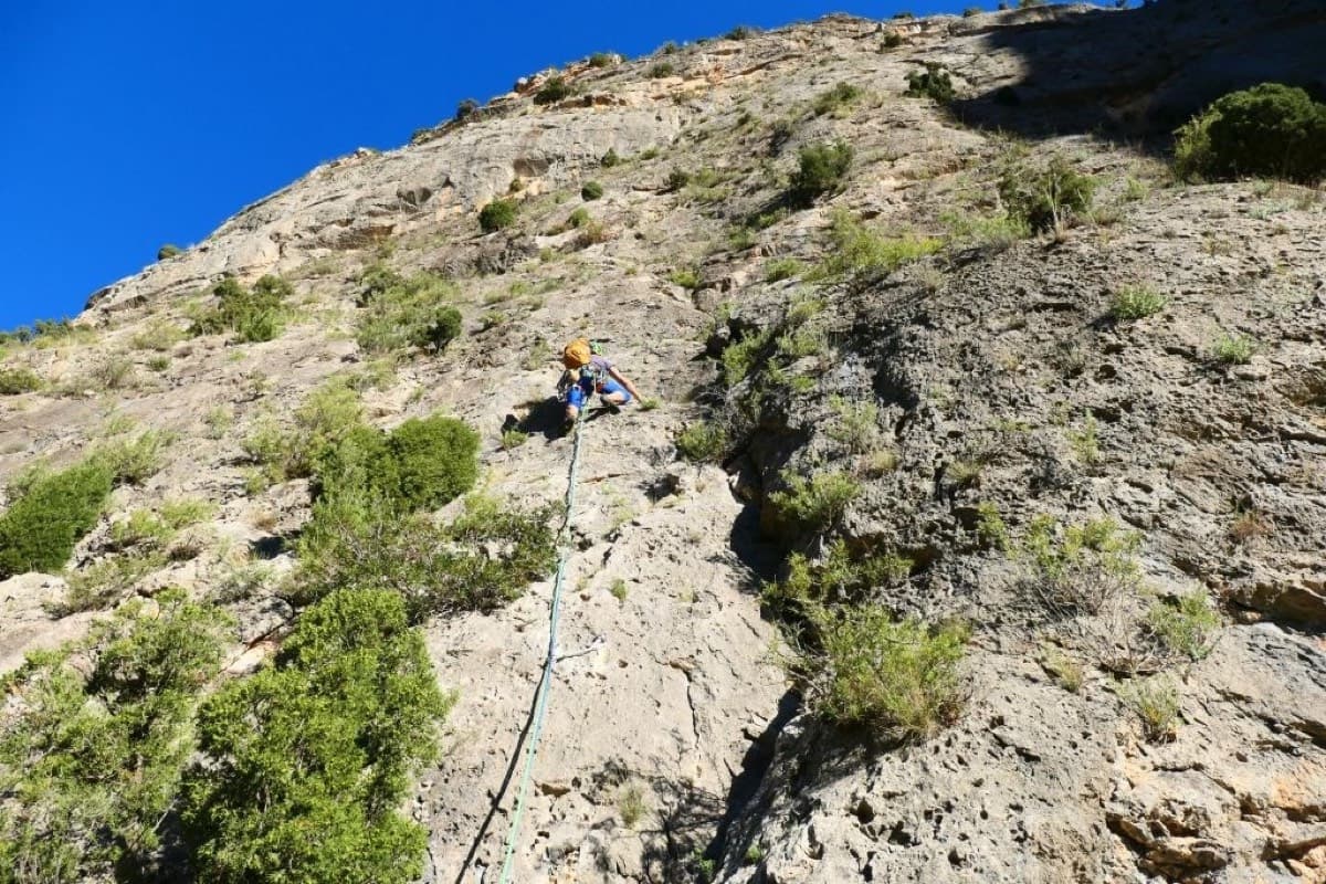
A leader on the first pitch of Monsieur at the Los Calpes sector, Montanejos.

Spain · Montanejos

Monsieur

Seven varied pitches in two halves split by a big ledge: vertical walls and cracks below, then an overhanging red wall and a traverse on a carpet of sharp little spikes beneath giant roofs. In the sun from the morning, unpolished, with an easy walk down.

6b+7 pitches170 m

The Barranco de la Maimona at Montanejos seen from above. The multipitch sectors line the walls of the gorge; the route itself is not identifiable in this view.

Spain · Montanejos

La Magia de tu Melena

The easy multipitch of the Maimona gorge, bolted in 2019 as a first long route: four pitches of grade 4 slabs and walls with one 5+ pitch. The line climbs the grey wall on the right of the Tubo sector, beside Parados al Sol. The exits of most pitches have loose rock, so a helmet matters more than the grade suggests.

5+4 pitches125 m

The Barranco de la Maimona at Montanejos seen from above. The multipitch sectors line the walls of the gorge; the route itself is not identifiable in this view.

Spain · Montanejos

Parados al Sol

A moderate four-pitch line up the middle of the Tubo sector: a grade 5 corner, a cracked corner with a traverse at 6a, a slab that steepens to 6a between two junipers, and an easy finish. All four belays are described as comfortable. A good step up from La Magia de tu Melena next door.

6a4 pitches130 m

Around 6c · about 10 pitches

Similar elsewhere

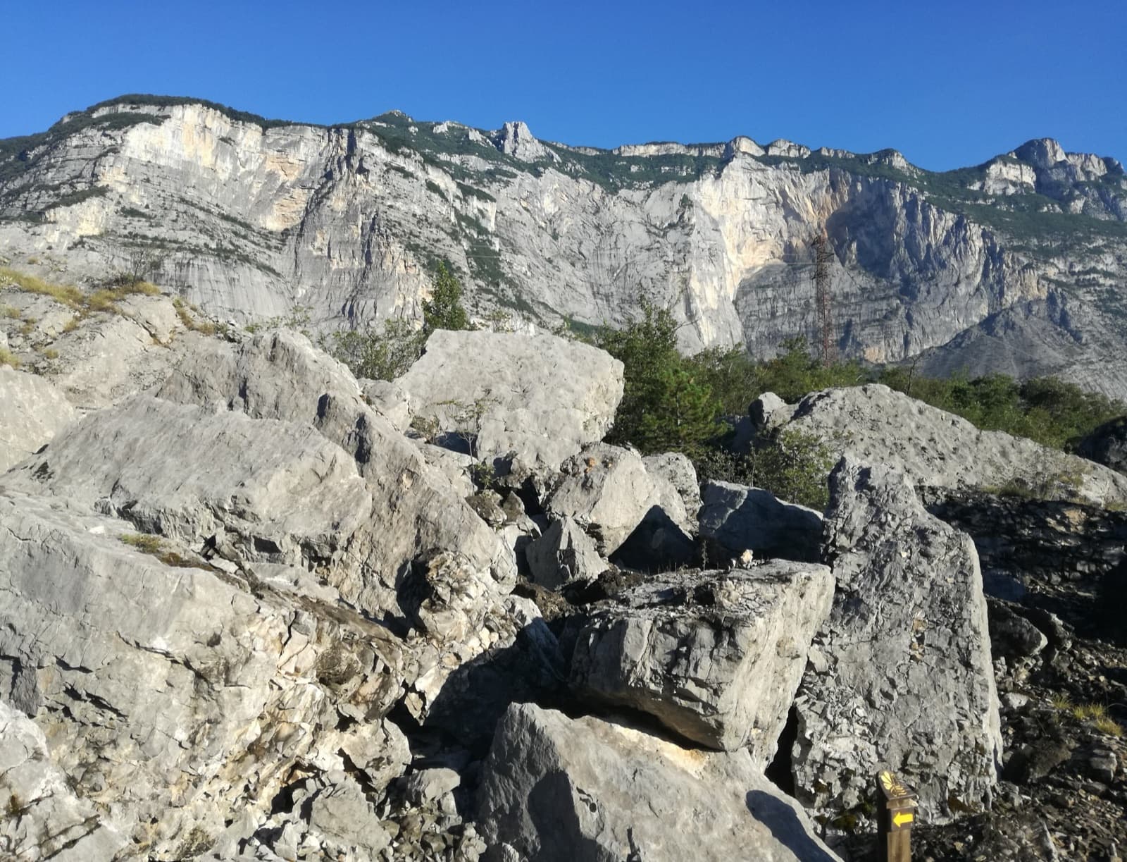
A view of the region, not this route's wall. Limestone blocks of the Marocche di Dro rockfall beneath the upper walls of Monte Brento, the setting of the Placche Zebrate.

Italy · Arco & Valle del Sarca

Nataraj

Steep, athletic corner climbing on the Mandrea wall above Arco, with pocketed slabs where the corner turns loose. Mostly 6a to 6b with a harder move on pitch 5 and the crux in the last pitch; both go at A0. The long layback corner near the top is the pitch people remember.

6c10 pitches275 m

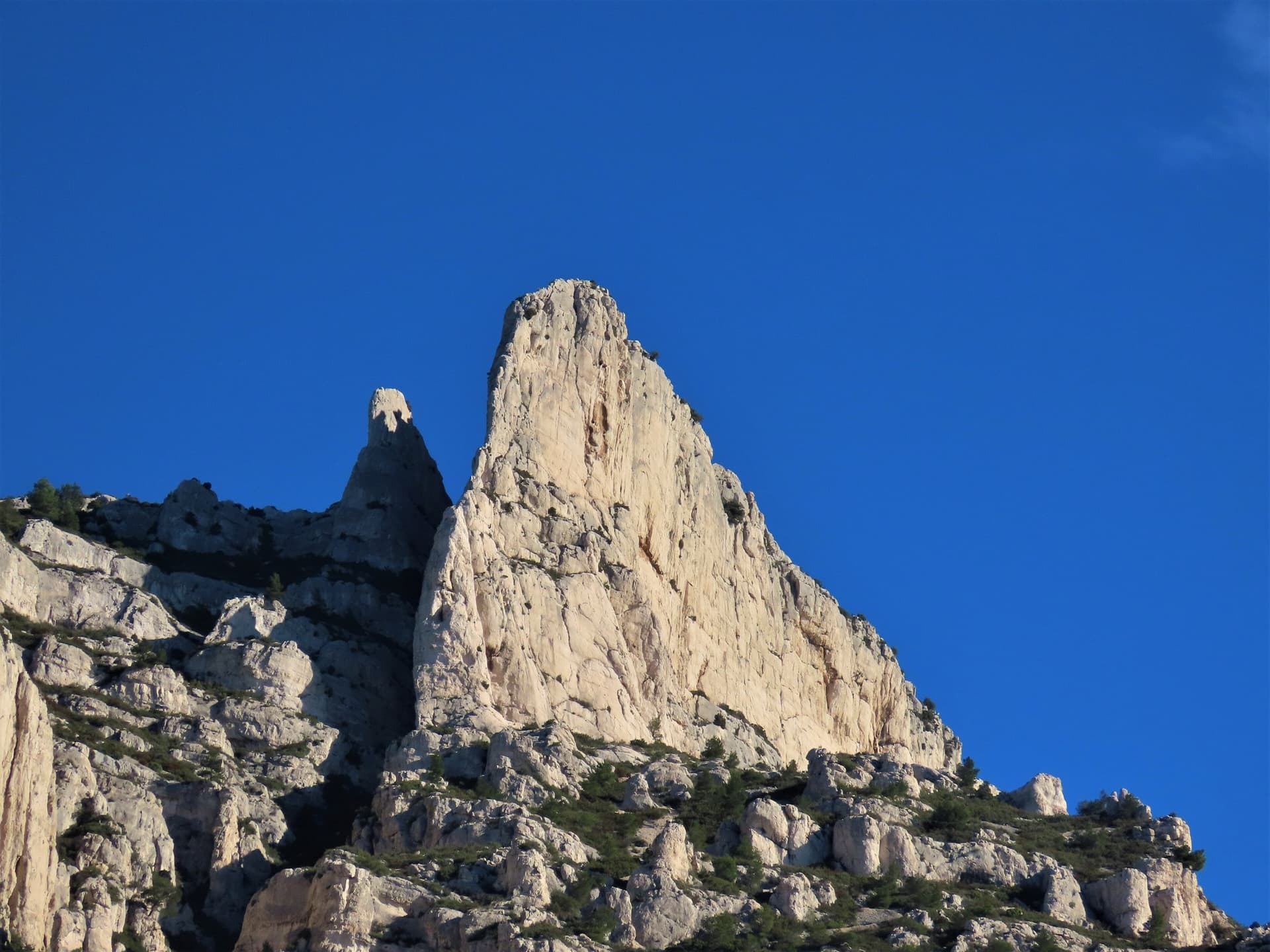
The spire of the Grande Candelle above its plinth of lower cliffs, seen from the Calanque de Sugiton; Armata Calanca climbs the plinth and then the south face to the summit, the line is not marked.

France · Calanques

Armata Calanca

The big modern classic of the Calanques: eleven pitches in three tiers from the foot of the Candelle plinth to the summit, sustained in the sixth grade on grey water-pocketed limestone above the sea. Two walking ledges split the day and offer escapes. The eighth pitch, a 6b+ diagonal along a flake, is the one people remember.

6c11 pitches320 m

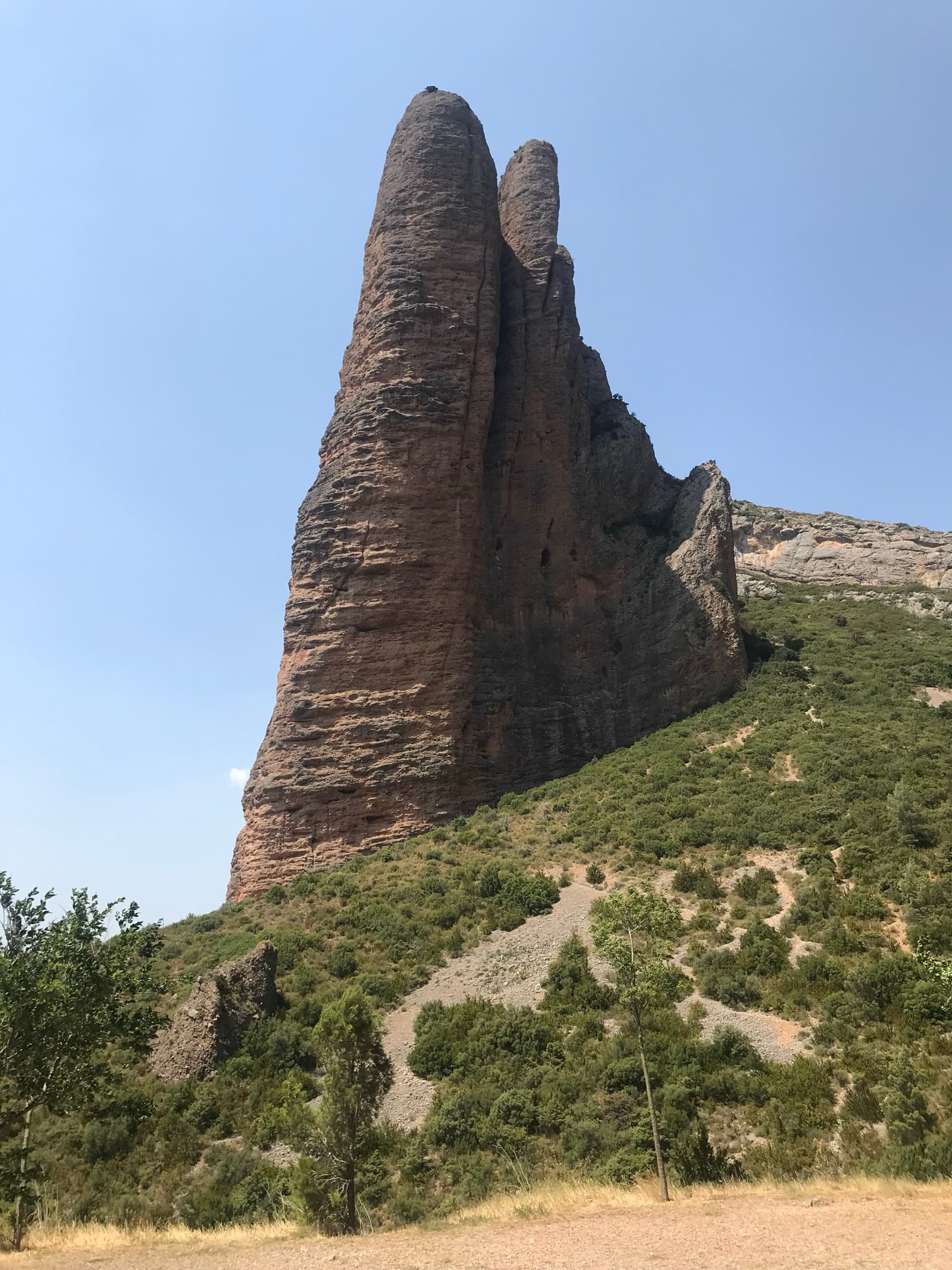
The Mallo Firé at Riglos, the pointed tower that Directa As Cimas climbs to its summit

Spain · Riglos & Agüero (Mallos)

Directa As Cimas

The modern way up the Firé: nine pitches to a pointed summit among the vultures, more technical and less overhanging than the routes on the Visera. Two pitches of 6c, each with a bulge or a hard move off the belay, sit in the middle of sustained 6a+ to 6b+ climbing. 6b is obligatory.

6c9 pitches300 m

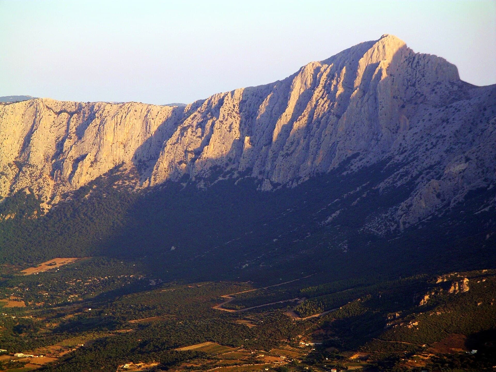
Punta Cusidore (1147 m) and the limestone wall of the Supramonte di Oliena in evening light, seen from the Oliena side.

Italy · Sardinia

L'Ombra della Mia Mano

A 300 m pillar on the 'Dolomite of Sardinia': a hard, smooth first pitch in a north-facing gully, long grey slabs and walls, a demanding technical crux on pitch 6, then exposed climbing on the crest of the pillar on big sculpted holds. Mountain atmosphere with sport protection.

6c9 pitches300 m

Read the cautions

Compiled from published sources and last verified October 2026. Bolts, anchors and access change. Climbing is dangerous and you are responsible for your own decisions: check a current topo and read the disclaimer.