Multipitch Atlas

Escalada Virtual

Cara de Mico (La Plantació, above the Gorros) · Montserrat · Spain

Bail with caveatsBolting confidence: high

The slightly harder neighbour of Via Infidel on the same quiet needle. A steep start, an easy pitch that traverses right to an uncomfortable belay, a fine vertical wall on very good rock, and a last pitch that begins on broken, earthy rock before a good vertical slab. Closely bolted where it is hard.

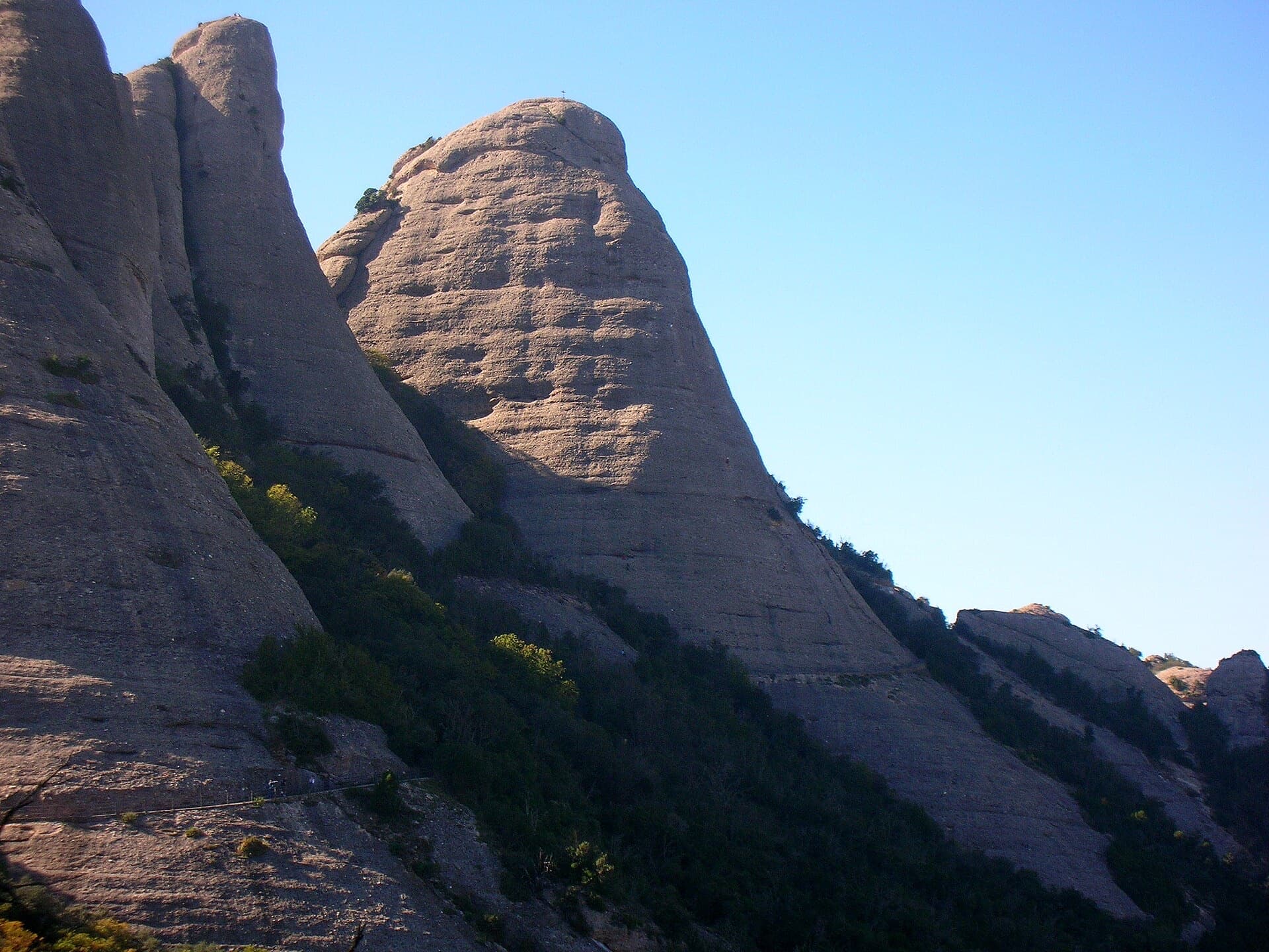
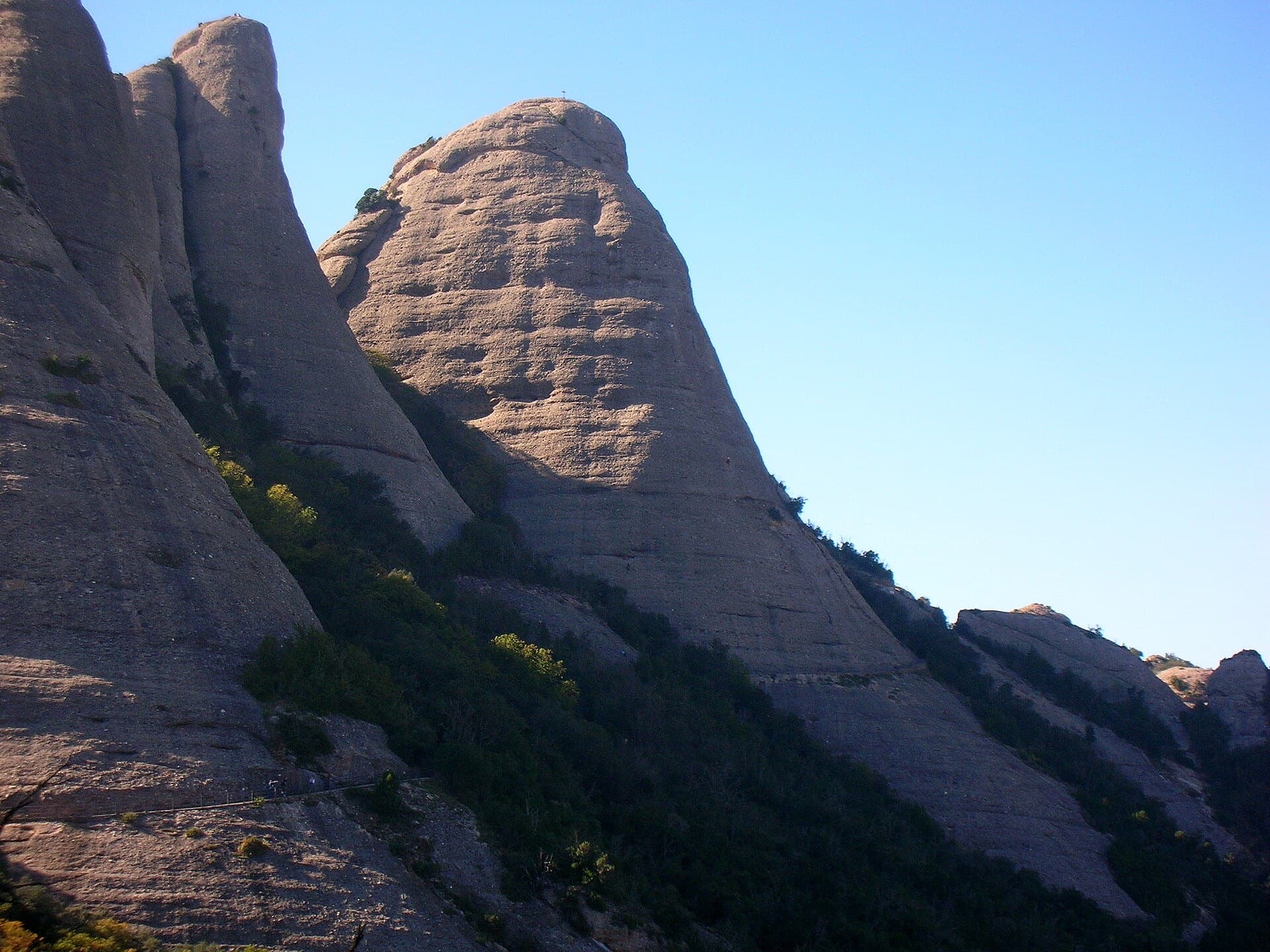
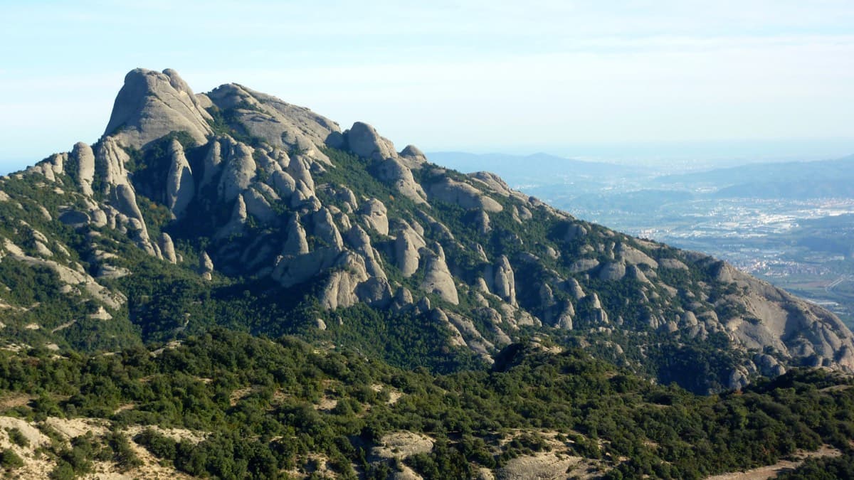
The Sentinella needle and the south side of Montserrat, photographed from the Cara de Mico during an ascent of the neighbouring Via Infidel. The approach passes the foot of the Sentinella.Photo: floflo06 · CC BY-NC-ND 3.0

Photo

The Sentinella needle and the south side of Montserrat, photographed from the Cara de Mico during an ascent of the neighbouring Via Infidel. The approach passes the foot of the Sentinella.Photo: floflo06 · CC BY-NC-ND 3.0
Hardest pitch
6a
Pitches
4
Length
110 m
Approach
30 min
Aspect
SW
South-west-facing
Rope
1×50 m

The route

Overview

Four pitches on the Cara de Mico (Agulla de la Plantació), starting just round the big block that marks Via Infidel. The first and third pitches are steep walls with 5c moves that can be aided on the bolts; the second is an easy link with a traverse; the fourth has the 6a climbing on a vertical slab, with a choice of exits at the top. Sources agree it is generously bolted. The needle is little visited compared with the Gorros above.

The climbing

Pitch by pitch

Pitches of Escalada Virtual
PitchGradeLengthBoltsNotes
P15c30 m12 boltsStraight up to the first bolt, a step left, then a vertical wall (5c or A0) that lies back gradually (5b, then 4b) to the belay. A 2018 blogger found this start the hardest move of the route.
P24b25 m7 boltsA pleasant easy pitch that ends with a traverse right to an uncomfortable belay on an earthy ledge below a very steep wall. Do not climb straight up to the linked belay you can see above.
P35c25 m7 boltsThe vertical wall on very good rock (5c or A0), weaving around the bolts. The best pitch.
P46a30 m12 boltsUp a gully of broken, earthy rock on the right, then out right onto a vertical slab of better rock to a platform. From there either finish direct on the left up an overhanging crack (6b), or go right along the route Terestel (3b traverse, then 4b straight up; watch the rope drag) to the chained abseil belay on the far side.

Getting there

Approach

To the parking

Montserrat monastery, reached by road from Monistrol (BP-1121) or by FGC train from Barcelona (Manresa line) connecting with the rack railway or the cable car. Camptocamp suggests parking just above the hairpin at the monastery toll, which it describes as free, and walking up through the car parks; a 2016 party paid €6.50 for the day in the monastery car park, which fills early at weekends. The Sant Joan funicular from the monastery saves about 350 m of ascent; camptocamp quotes €15 return and €9.50 one way for its upper section.

On foot · about 30 min

About 30 minutes from the top station of the Sant Joan funicular, or about 1 hour on foot from the monastery. Follow the Sant Jeroni path past the foot of the Gorra Frígia and through two cuttings in the rock; after the second, shortly before a concrete viewpoint, take the unmarked path that drops steeply left to the Sentinella needle. Follow cairns to the opposite wall, the Cara de Mico, and along its foot to the big characteristic block where Via Infidel starts. Walk round the block: Escalada Virtual starts just above, on yellow bolts, before the route Terestel, whose bolts are unpainted.

Map of the walk-in

  • Crag
  • Parking

Loading map

The point marks the crag, not the exact start of the route.

Coordinates · crag

41.59093, 1.82465

Point from camptocamp waypoint 1187372 (Cara de Mico / Plantació summit)

For your phone or watch

Download GPX

Contains the route point and parking. Opens in most mapping apps and GPS watches.

Points are compiled from published sources, with the precision stated above. They were not surveyed on the ground: check them against a current topo.

Getting down

Descent

From the chained belay make one abseil of about 20 m down the north-west side to a small col. Follow the small path to the main Gorros trail and return the way you came.

Retreat

Bailing off the route

Bail with caveats

No source describes a retreat. The belays are bolted and the pitches are 25 to 30 m, so abseiling from stance to stance should work on a 60 m rope, but the pitch 2 traverse and the uncomfortable R2 make it awkward. The route is short; going up is usually simpler.

Retreat from
R1 and R3 are the straightforward ones (inferred); R2 is reached by a traverse.
Point of no return
None described. The hard walls can be aided.
Carry
A 60 m rope and a maillon or two, since only the summit belay is described as a chained abseil station.
Basis
Inferred from the route factsCamptocamp describes the belays and a single chained abseil station on top; nothing is stated about retreat.

Partly inferred from the route facts

Safety

Hazards

  • The start of pitch 4 is on poor rock with loose stones; keep the belayer tucked in.
  • The belay at the top of pitch 2 is uncomfortable, and it is easy to climb past it to a different belay above.
  • Rope drag on the right-hand exit of pitch 4.

Sun and weather

Conditions

South-west facing at about 1000 m. Parties have used it as the dry, sunny option when the north faces of the Gorros were soaked (October 2021) or too windy and cold (November 2022). The conglomerate dries fast, but the approach through the wood stays wet after rain.

Usual season · Feb to May, Oct to Nov

Sun on the wall · SW-facing

Working out the sunlit hours for this month.

  • January: not yet worked out
  • February (usual season): not yet worked out
  • March (usual season): not yet worked out
  • April (usual season): not yet worked out
  • May (usual season): not yet worked out
  • June: not yet worked out
  • July: not yet worked out
  • August: not yet worked out
  • September: not yet worked out
  • October (usual season): not yet worked out
  • November (usual season): not yet worked out
  • December: not yet worked out

Sun on the wallDaylight, wall in shade● Usual season

Estimated from the wall's aspect only. Ignores surrounding terrain, gullies and the wall's exact shape. Clock times are local to the wall (Central European time), for the 15th of each month.

Monthly climate averages for Montserrat, 1991-2020
MeasureJanFeb (usual season)Mar (usual season)Apr (usual season)May (usual season)JunJulAugSepOct (usual season)Nov (usual season)Dec
Mean daily high °C681113172124231915107
Mean daily low °C−3−30361013141071−2
Rain days 1 mm or more667109779121076

● marks the usual climbing season. Averages for 1991-2020 at about 1072 m. Area climate from Open-Meteo reanalysis. Temperatures are adjusted to the height of the crag; rain comes from a grid cell of about 10 to 25 km, and summer highs on sea cliffs can read a few degrees low. The wall and valley can differ. Data: Open-Meteo, CC BY 4.0.

What to carry

Gear

12 quickdraws, slings, belay kit and a 50 m rope (camptocamp). Cams are not useful. Helmet.

Checklist

Quickdraws
12
Rope
1×50 m
Helmet
One each
Abseil device and prusik
The descent or the retreat involves abseiling
Maillons or spare karabiners
To leave behind if you retreat

Derived from the route data; check it against a current topo

From climbers

Reader reports

Reader reports are not being collected yet. Until they are, check a current topo and the local club or guidebook publisher for recent changes to Escalada Virtual.

Worth knowing

Tips

  • Combine with Via Infidel (5c) next door: a 2022 party took 2 hours for this route and 1 h 10 for Infidel.
  • Both 5c walls go at A0.
  • The right-hand exit by Terestel avoids the 6b crack and is what recent parties used.

Open questions

Where sources disagree

  • Overall grade: camptocamp's rating field says 5c (5b obligatory) but its pitch table grades the last pitch 6a; a 2018 blog gives V+ maximum and 105 m.
  • Length: 110 m from camptocamp's pitch lengths, 120 m in its height field, 105 m in the blog.

Provenance

Sources

Same area

More in Montserrat

All routes in Montserrat
West side of the Gorros sector, Montserrat

Spain · Montserrat

Integral d'en Pitu i la Nuri

A modern linkup over two pinnacles on excellent conglomerate. Overhanging 6a and 6a+ walls alternate with easy 'potato-field' slabs. The new bolting makes it one of the most reassuring long lines in the massif.

6a+5 pitches185 m
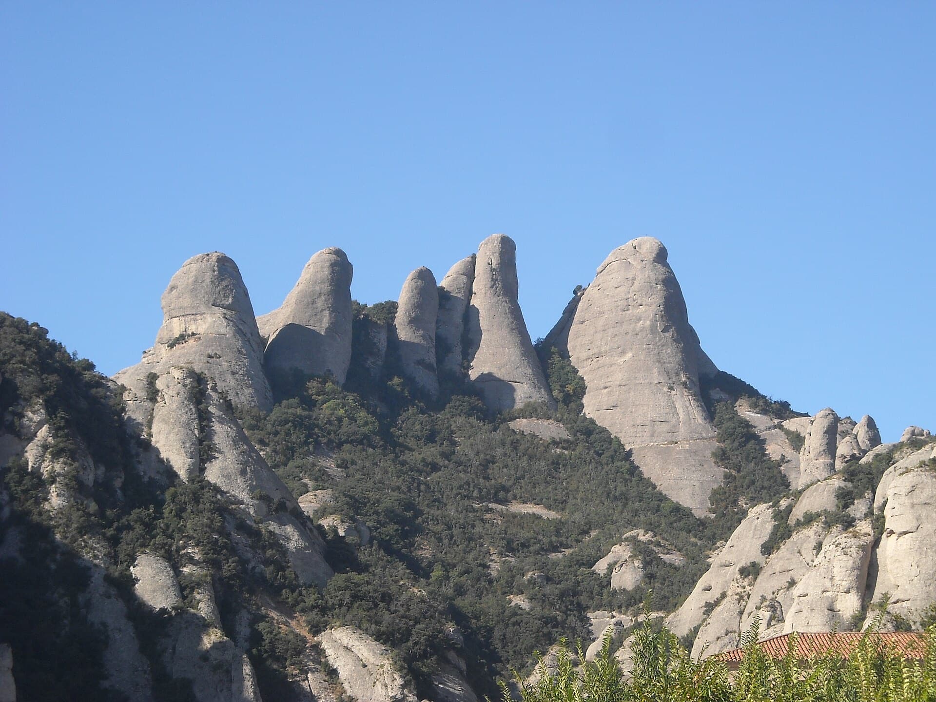
The Gorros of Montserrat from the monastery side: left to right the Gorra Marinera, the Magdalenes and the Gorra Frígia. Via Sargantanes climbs the Gorra Marinera, the left-hand tower.

Spain · Montserrat

Via Sargantanes

A popular first Montserrat multipitch close to the monastery. Steep pebble walls at 5b are split by easy slabs, finishing on an airy summit cap.

5b6 pitches145 m

Read the cautions

The Gorra Frígia, the Phrygian-cap tower of the Gorros, seen from the Camí Nou de Sant Jeroni, which passes the foot of its north-east side where Via del Carles starts. The line itself is not marked.

Spain · Montserrat

Via del Carles

A straightforward line up the 'Phrygian cap' visible from the monastery. Only the short vertical step on pitch 3 is sustained. It is a good route for learning Montserrat pebble technique and has a summit cross with a big view. The approach takes about 10 min from the Sant Joan funicular top.

5c5 pitches140 m

The Gorra Frígia seen from the Camí Nou de Sant Jeroni on the northern side of the Gorros, Montserrat. Via Stromberg climbs the north face; the line is not marked.

Spain · Montserrat

Via Stromberg

A shady north-face outing that suits warm days. Steady 5c pebble climbing leads to a short overhang crux (6a, or 5c/A0) and the summit cross.

6a4 pitches120 m

Around 6a · about 4 pitches

Similar elsewhere

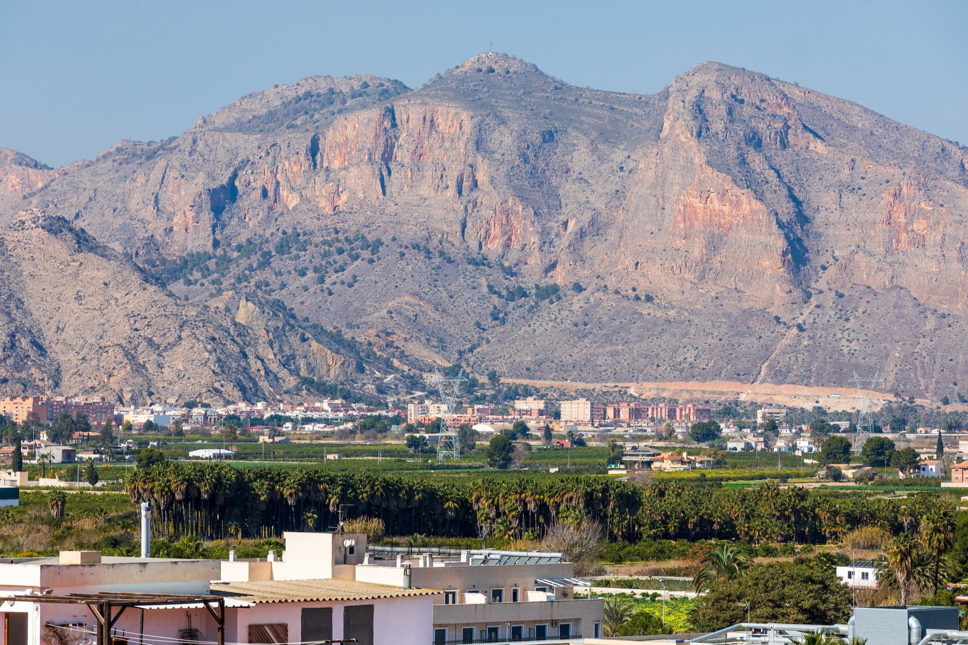
The south-east flank of the Sierra de Orihuela below the Cruz de la Muela, seen across the Vega Baja from Bigastro; Pared Negra is one of the walls on this flank (the exact wall is not marked).

Spain · Vega Baja (Orihuela & Callosa)

Código Vertical

A popular modern four-pitch classic on Pared Negra's compact grey limestone, around UIAA 6/6+ (about French 6a). Best on cool, sunny winter days.

6a4 pitches150 m

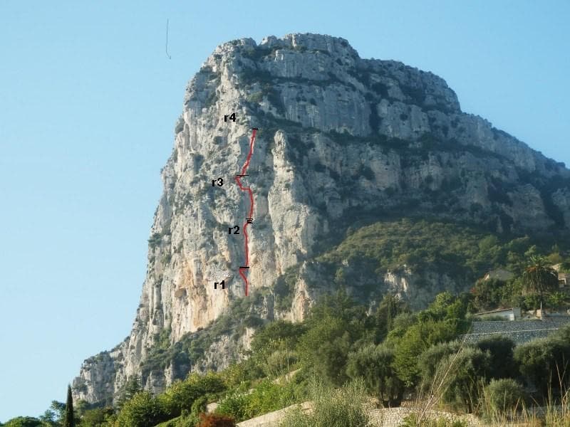
L'étrier drawn on the south-west face of the Baou de Saint-Jeannet, with its four belays

France · Baou de Saint-Jeannet

L'étrier

The most accessible bolted multipitch on the Baou: four homogeneous pitches of French 5+ with one move of 6a, up a crack, corners and sculpted stratified walls, with an airy traverse on pitch 3. Short enough for half a day. Local grades are stiff, the first pitch is polished and the easy sections are run-out.

6a4 pitches120 m

Read the cautions

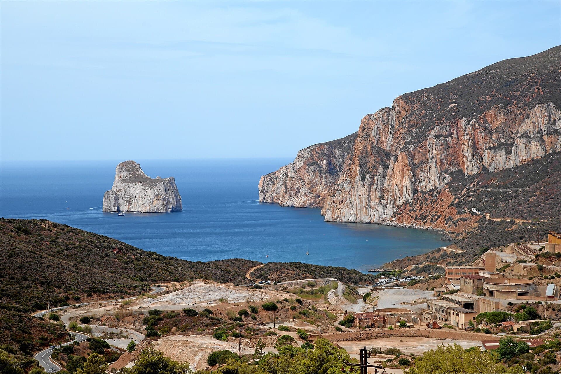
The orange limestone cliffs of Masua (right) above the old mine workings, with the Pan di Zucchero sea stack offshore.

Italy · Sardinia

L'Italia Liberata

A short but superb sea-cliff route on beautifully sculpted limestone in an incredible setting near Pan di Zucchero. Corners and an airy pillar lead to a steep, rounded 6a wall. Camptocamp rates it 'great'.

6a4 pitches120 m

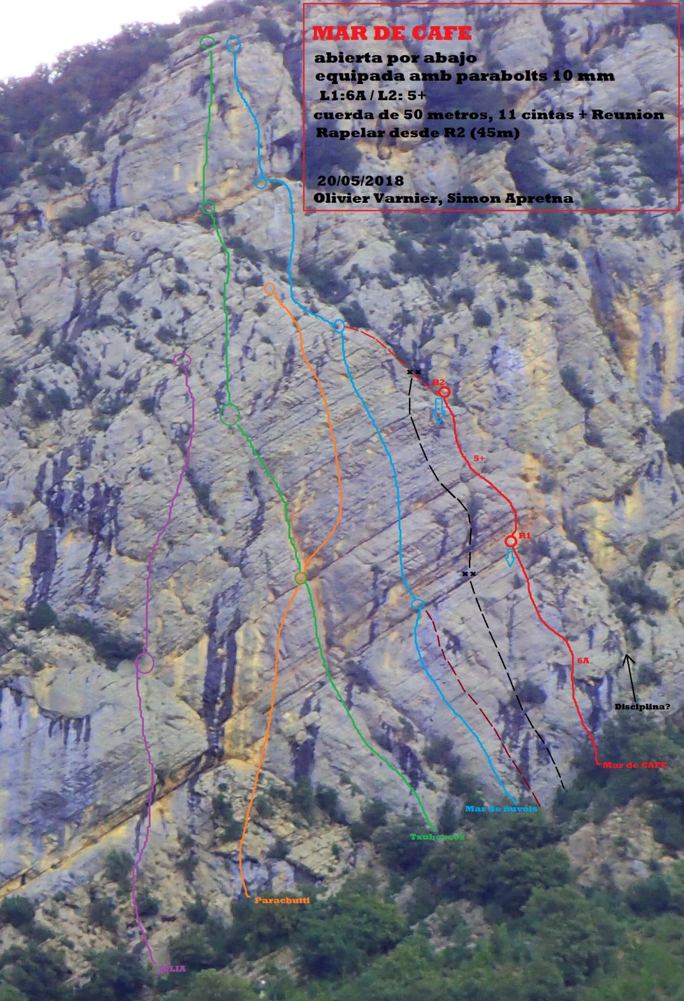
Photo-topo of the Txubascos side of the Paret de Zaratustra, drawn for the newer Mar de Café (red); Txubascos Baskos and Mar de Núvols are among the other coloured lines to its left

Spain · Vilanova de Meià (Roca dels Arcs)

Mar de Núvols

The best of the easier lines on the Paret de Zaratustra: steep climbing on big horizontal holds, a very vertical wall on the long second pitch and an overhanging 6a finish. Less polished than Txubascos Baskos next door, but with longer gaps between some bolts.

6a4 pitches110 m

Read the cautions

Compiled from published sources and last verified October 2026. Bolts, anchors and access change. Climbing is dangerous and you are responsible for your own decisions: check a current topo and read the disclaimer.