Multipitch Atlas

Tierra de Todos

Mallos de Agüero, east face · Riglos & Agüero (Mallos) · Spain

Bail with caveatsBolting confidence: high

The steeper neighbour of Tierra de Naide on the east face above Agüero, with five pitches of 25 to 31 m that change direction often. Pitches 2, 4 and 5 give sustained vertical conglomerate at 5b to 5c, with a slightly overhanging finish on small holds. Very well bolted, but several parties warn of hollow flakes and loose cobbles.

Drawn topo of Tierra de Todos on the east face of the Mallos de Agüero, with belays, pitch grades and bolt positionsPhoto: janic · CC BY-SA 3.0

Topo

Drawn topo of Tierra de Todos on the east face of the Mallos de Agüero, with belays, pitch grades and bolt positionsPhoto: janic · CC BY-SA 3.0
Hardest pitch
5c
Pitches
5
Length
145 m
Approach
25 min
Aspect
E
East-facing
Rope
1×50 m
(walk-off); 2×60 m if you want to abseil the route

The route

Overview

A five-pitch route up the right-hand spur of the east face of the Mallos de Agüero, the quieter conglomerate towers across the Gállego from Riglos. It was opened in 2018 by the team behind Sendero Límite on Peña Rueba and has the same close bolting. It is a little longer, steeper and more sustained than Tierra de Naide next door, with the best climbing on pitches 2, 4 and 5. The east face gets the first sun and loses it late in the morning. The catch is the rock: recent parties describe hollow-sounding flakes and blocks that move, so climb gently and wear a helmet.

The climbing

Pitch by pitch

Pitches of Tierra de Todos
PitchGradeLengthBoltsNotes
P14c25 m9 boltsAn easy-angled slab that steepens and curves left to the first belay. Nine bolts and one thread.
P25c31 m14 boltsA wall left of the belay for about 20 m (5c), then a rising traverse up the grey streak (4a to 5b) to a belay on its left. The Spanish camptocamp text gives 35 m and 13 bolts.
P34b25 m7 boltsA rising traverse to the squeeze beside the big crack that splits the face. Seven bolts, plus one thread in the Spanish text.
P45b30 m9 boltsTraverse right from the belay across the wall to the middle of the face, then straight up. Sustained; several parties found this the best pitch and a touch harder than the last. Two old threads on cobbles remain beside the bolts. The belay is hidden in a recess under the final steepening; do not stop at a poor belay lower down on the left, above a bush and a big loose flake.
P55c30 m10 boltsA slightly overhanging start on small holds that look fragile (5c), then easier climbing (5a) straight to the summit at about 895 m.

Getting there

Approach

To the parking

From Huesca take the A-132 towards Ayerbe and Murillo de Gállego; about 1 km before Murillo turn left on the Z-534 to Agüero. As you reach Agüero take the road on the right to the east car park at the entrance to the village (about 725 m).

On foot · about 25 min

About 25 minutes. From the car park take the path beside the information board for the 'Vuelta a los Mallos de Agüero', which climbs north-east on the right bank of the stream bed and then enters the side valley. At about 760 m it crosses to the left bank and turns north; by 795 m the east face is in view, with its deep crack between two spurs. The path crosses back to the right bank; 50 m further, at about 800 m, take the cairned track on the left, then a second track left across the slope through bushes (cairn) to the foot of the spur. The start is marked with a tag bearing the route name at the first bolt.

Map of the walk-in

  • Crag

Loading map

The point marks the crag, not the exact start of the route.

Coordinates · crag

42.35920, -0.79598

Point from camptocamp waypoint 1160100 (Mallos d'Agüero)

For your phone or watch

Download GPX

Contains the route point. Opens in most mapping apps and GPS watches.

Points are compiled from published sources, with the precision stated above. They were not surveyed on the ground: check them against a current topo.

Getting down

Descent

On foot. From the summit go north, keeping just left of the crest, to a cairned notch at the top of a steep gully-chimney. A 3 m cable lets you traverse into the line of the chimney, where abseil rings or a chain protect the first chimney. A doubled rope and a knotted rope help you down the second chimney, and a third is down-climbed by bridging. At the foot of the gully a path through the box scrub follows the base of the walls rightwards back to the approach path. The belays on the route are also equipped for abseiling.

Retreat

Bailing off the route

Bail with caveats

The belays are equipped for abseiling, so you can retreat from any of them, but you need two ropes because the pitches are 25 to 31 m. The line wanders, with traverses on pitches 2, 3 and 4, so abseils will not follow the pitches exactly.

Retreat from
Any belay; all are bolted and rigged for abseil according to camptocamp.
Point of no return
None stated. After pitch 4 the summit is one pitch away and the walk-off is quicker than abseiling.
Carry
Two ropes (2×60 m is the figure in the Spanish camptocamp text); a single 50 m rope will not reach between belays.
Basis
Part stated, part inferredCamptocamp states the belays are equipped for abseiling; no source describes an actual retreat, so the note on traverses is inferred from the pitch descriptions.

Partly inferred from the route facts

Safety

Hazards

  • Loose rock: parties in 2023 and 2024 report rattling flakes, hollow-sounding rock and blocks that slide like drawers. Test holds and keep the second out of the fall line.
  • Belay 4 is hidden in a recess; a poor belay below and left of it sits above a large loose flake.
  • The pitches change direction a lot, so linking them causes drag.
  • The descent gully relies on fixed ropes and a cable of unknown age; check them before you weight them.

Sun and weather

Conditions

East-facing at about 800 to 900 m. In winter the lower part is in the sun only until about 10:30 and it is cool in the shade afterwards (February 2024 party). It dries fast and catches the morning sun, so parties use it the day after a storm. Outings are logged from September to June; camptocamp gives March to June and September to October as the best months for Agüero.

Usual season · Mar to Jun, Sep to Oct

Sun on the wall · E-facing

Working out the sunlit hours for this month.

  • January: not yet worked out
  • February: not yet worked out
  • March (usual season): not yet worked out
  • April (usual season): not yet worked out
  • May (usual season): not yet worked out
  • June (usual season): not yet worked out
  • July: not yet worked out
  • August: not yet worked out
  • September (usual season): not yet worked out
  • October (usual season): not yet worked out
  • November: not yet worked out
  • December: not yet worked out

Sun on the wallDaylight, wall in shade● Usual season

Estimated from the wall's aspect only. Ignores surrounding terrain, gullies and the wall's exact shape. Clock times are local to the wall (Central European time), for the 15th of each month.

Monthly climate averages for Riglos & Agüero (Mallos), 1991-2020
MeasureJanFebMar (usual season)Apr (usual season)May (usual season)Jun (usual season)JulAugSep (usual season)Oct (usual season)NovDec
Mean daily high °C9101416202629292418129
Mean daily low °C1135913161612942
Rain days 1 mm or more97910107678998

● marks the usual climbing season. Averages for 1991-2020 at about 612 m. Area climate from Open-Meteo reanalysis. Temperatures are adjusted to the height of the crag; rain comes from a grid cell of about 10 to 25 km, and summer highs on sea cliffs can read a few degrees low. The wall and valley can differ. Data: Open-Meteo, CC BY 4.0.

What to carry

Gear

14 quickdraws plus belay gear. A 50 m rope is enough for the climb and the gully descent (camptocamp says 2×30 m just works, and is tight on pitch 3); take 2×60 m if you plan to abseil the route. Helmet. No cams or nuts needed.

Checklist

Quickdraws
14
Rope
1×50 m (walk-off); 2×60 m if you want to abseil the route
Helmet
One each
Abseil device and prusik
The descent or the retreat involves abseiling

Derived from the route data; check it against a current topo

From climbers

Reader reports

Reader reports are not being collected yet. Until they are, check a current topo and the local club or guidebook publisher for recent changes to Tierra de Todos.

Worth knowing

Tips

  • Allow 1.5 to 2.5 hours on the route.
  • You can climb Tierra de Naide and Tierra de Todos in the same morning; one party took about 5 hours for both including a lunch stop.
  • The two routes can be joined at belay 3, which some groups use to avoid the 5c on Tierra de Naide.
  • A video of the route is linked from the April 2024 camptocamp outing.

Open questions

Where sources disagree

  • Pitch 2: 31 m and 14 bolts in the French camptocamp text, 35 m and 13 bolts in the Spanish text. The drawn topo gives 35 m.
  • Rope and quickdraws: the French text says a 50 m rope and 14 quickdraws; the Spanish text says 2×60 m and '3' quickdraws, which looks like a typing error for 13. The topo says 13.
  • Overall length: 145 m on camptocamp, 140 m on the drawn topo.

Provenance

Sources

Same area

More in Riglos & Agüero (Mallos)

All routes in Riglos & Agüero (Mallos)
The classic view of Riglos from the south-west: the slender pinnacle of El Puro on the left, the great dome of Mallo Pisón beside it, and the main wall running right to La Visera above the village.

Spain · Riglos & Agüero (Mallos)

Espolón del Adamelo

This is the gentlest way to sample Riglos. Polished pockets and two bulging 'panzas' lead to a 6a crux that can be pulled through on the bolts (A0). The upper spur is easy, and the Pisón towers loom close by.

6a7 pitches175 m

Read the cautions
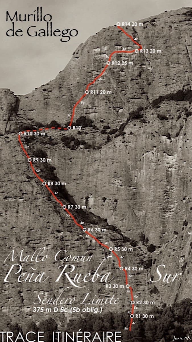
Topo of Sendero Límite on the south face of Peña Rueba (Mallo Común)

Spain · Riglos & Agüero (Mallos)

Sendero Límite

A long beginner's big route on good conglomerate at a moderate angle. Pitches can be linked in pairs with a 60 m rope. A four-pitch headwall with a couple of panzas finishes high above the Gállego valley.

5c14 pitches375 m

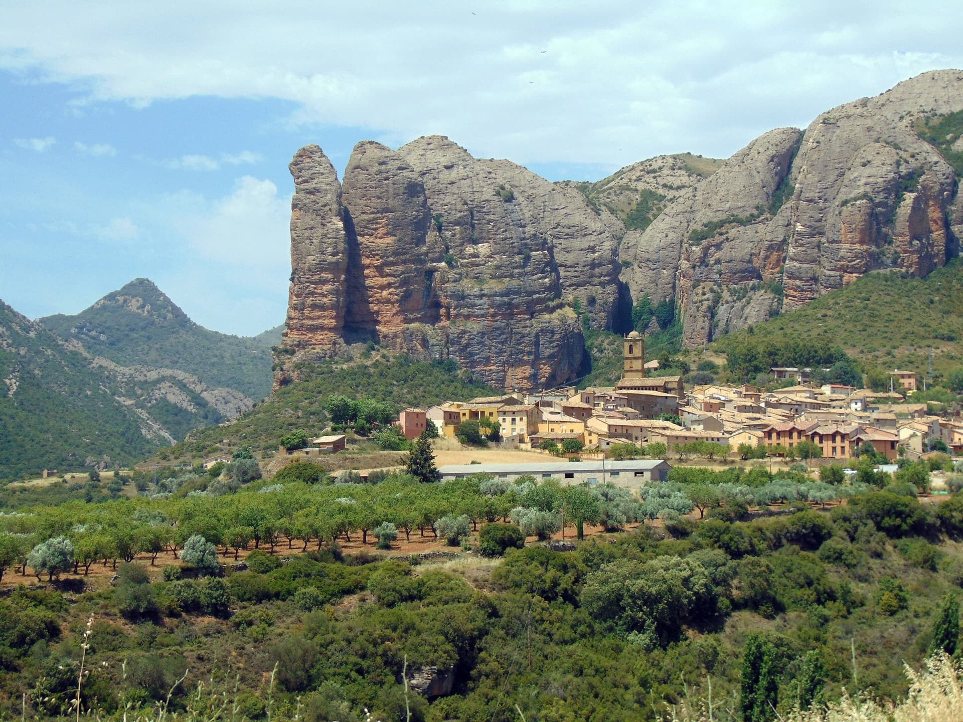
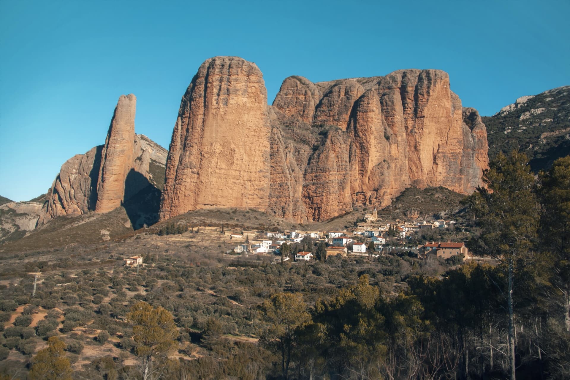
The Mallos de Agüero rising directly behind the village, seen from the south-east, with the detached tower of Peña Sola at the left end; the east-facing walls are towards the right-hand end of the massif.

Spain · Riglos & Agüero (Mallos)

Tierra de Naide

A morning-sun route at the quieter Agüero mallos. Easy slabs separate two fine steep walls, including a superb vertical 5c plaque on pitch 4. Take care with some loose cobbles on the last traverse.

5c5 pitches145 m

Around 5c · about 5 pitches

Similar elsewhere

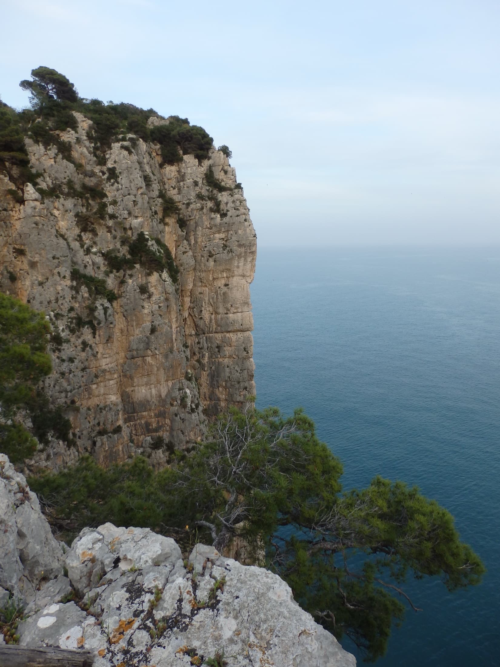
The limestone sea cliff of the Montagna Spaccata on Monte Orlando, Gaeta, seen from the park path. Via Beatrice is on these cliffs; the line is not marked.

Italy · Gaeta & Sperlonga

Via Beatrice

The easiest and one of the most repeated long routes on the Gaeta sea cliff. You abseil to a terrace just above the waves, traverse left, pull one polished 5c move and then climb chimneys and clefts beside a huge detached needle to the cliff top. The setting is the attraction: bridging in a chimney hanging over the sea.

5c5 pitches155 m

Committing

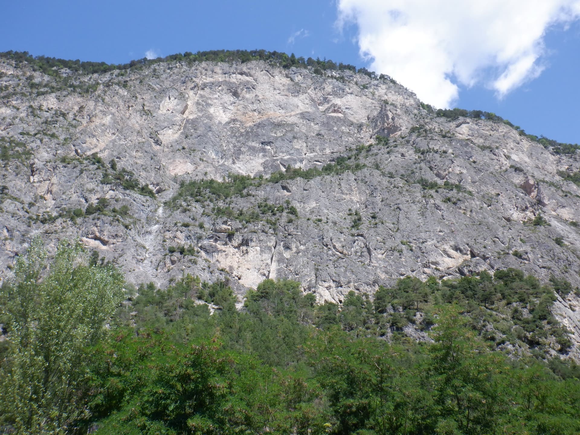
The Geierwand above Haiming seen from the car park; Kollerweg climbs the lower tier to the vegetated ledge at mid-height

Austria · Inntal (Haiming Geierwand)

Kollerweg

The easiest worthwhile line on the lower tier of the Geierwand. Most people know only its first pitch as a single-pitch climb, but four more good pitches continue to the big ledge on edges and pockets, with a long traverse and a short chimney in the middle. Mostly around 5a with a few 5c passages.

5c5 pitches130 m

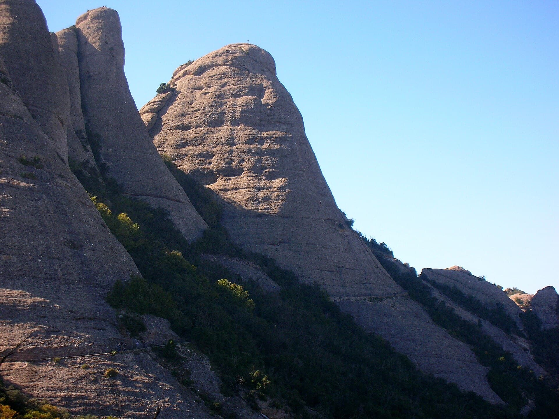
The Gorra Frígia, the Phrygian-cap tower of the Gorros, seen from the Camí Nou de Sant Jeroni, which passes the foot of its north-east side where Via del Carles starts. The line itself is not marked.

Spain · Montserrat

Via del Carles

A straightforward line up the 'Phrygian cap' visible from the monastery. Only the short vertical step on pitch 3 is sustained. It is a good route for learning Montserrat pebble technique and has a summit cross with a big view. The approach takes about 10 min from the Sant Joan funicular top.

5c5 pitches140 m

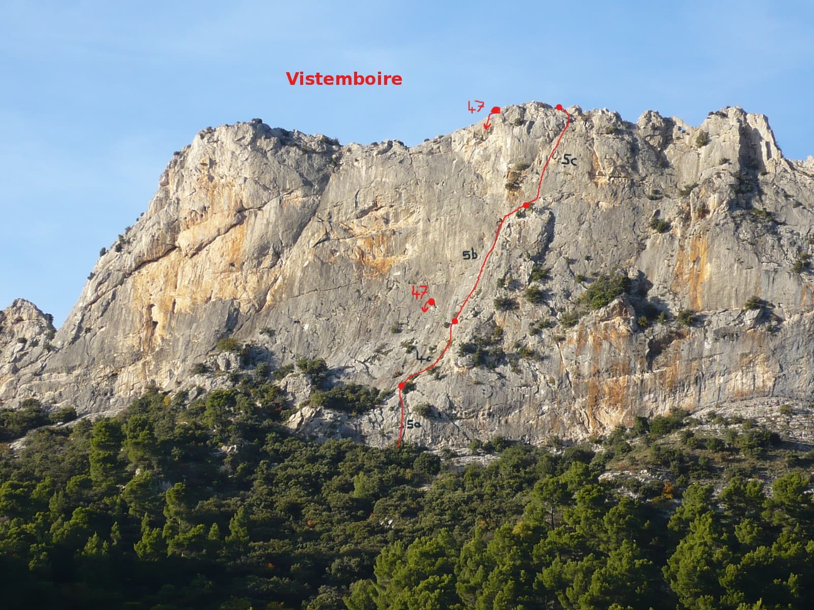
Vistemboir drawn on the south face of the Chaîne du Clapis, with pitch grades and the abseil line

France · Dentelles de Montmirail

Vistemboir

The classic easy multipitch of the Clapis south face, first climbed in 1964 and now fully re-equipped: a slab, an easy rightward ramble, an obvious corner and a superb steep 5c pitch on very grippy rock with a short airy traverse. A 5 m scramble reaches the crest for a view of both sides of the chain and Mont Ventoux.

5c5 pitches90 m

Compiled from published sources and last verified October 2026. Bolts, anchors and access change. Climbing is dangerous and you are responsible for your own decisions: check a current topo and read the disclaimer.